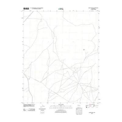
2010 Map of Heart Rock
USGS Topo · Published 2010About this map
Heart Rock stands as a prominent terrain feature in this high-desert portion of the Eastern Navajo Agency, overlooking a network of regional roads that converge in the southeast. The small settlement of Largo is situated near the junction of several routes, including White Ridge Rd and Indian Service Route 488. This landscape is defined by the specialized transportation infrastructure of the Navajo Nation, where Indian Service Route 481 and Navajo Service Route 48 cross the arid plains to connect remote communities. The map provides a clear view of the intersection between local thoroughfares like County Rd-19 and the larger service route network, reflecting the modern pastoral and residential patterns of this New Mexico region in the early twenty-first century.
Find a feature on this map
7 named features on this map. Tap any name to fly to it.
Don’t see what you’re looking for? This feature index may not catch every label — zoom into the map to look around manually.
Map Details
Editions of this 2010 Heart Rock Map
This is the sole edition of this map. No revisions or reprints were ever made.
Other maps of this area

1883 · Mt. Taylor
USGS Topo · 1:250,000

1886 · Wingate
USGS Topo · 1:250,000

1886 · Mt. Taylor
USGS Topo · 1:250,000

1892 · Wingate
USGS Topo · 1:250,000

1892 · Mt. Taylor
USGS Topo · 1:250,000

1899 · Mt. Taylor
USGS Topo · 1:250,000

1954 · Gallup
USGS Topo · 1:250,000

1958 · Gallup
USGS Topo · 1:250,000

1958 · Albuquerque
USGS Topo · 1:250,000

1959 · Gallup
USGS Topo · 1:250,000
Featured Places
- Eastern Navajo Agency, NM
- Littlewater, Eastern Navajo Agency
- McKinley County, NM
- United States
- New Mexico