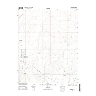
2013 Map of Heart Rock
USGS Topo · Published 2013About this map
Chaco Culture National Historical Park anchors the southwestern quadrant of this high-desert landscape in McKinley County. A significant archaeological presence is established by Kin Ya-ah, a Chacoan great house located south of Crownpoint. This area serves as a transition between the organized settlement at the edge of the quadrangle and the more dispersed terrain to the east, where the landmark Heart Rock rises near the boundary of the Eastern Navajo Agency.
Find a feature on this map
19 named features on this map. Tap any name to fly to it.
Don’t see what you’re looking for? This feature index may not catch every label — zoom into the map to look around manually.
Map Details
Editions of this 2013 Heart Rock Map
This is the sole edition of this map. No revisions or reprints were ever made.
Other maps of this area

1883 · Mt. Taylor
USGS Topo · 1:250,000

1886 · Wingate
USGS Topo · 1:250,000

1886 · Mt. Taylor
USGS Topo · 1:250,000

1892 · Wingate
USGS Topo · 1:250,000

1892 · Mt. Taylor
USGS Topo · 1:250,000

1899 · Mt. Taylor
USGS Topo · 1:250,000

1954 · Gallup
USGS Topo · 1:250,000

1958 · Gallup
USGS Topo · 1:250,000

1958 · Albuquerque
USGS Topo · 1:250,000

1959 · Gallup
USGS Topo · 1:250,000
Featured Places
- Eastern Navajo Agency, NM
- Littlewater, Eastern Navajo Agency
- McKinley County, NM
- United States
- New Mexico