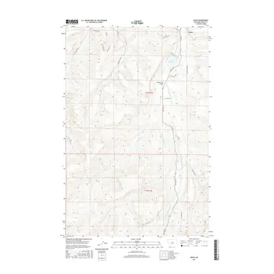
2017 Map of Heath
USGS Topo · Published 2017About this map
Heath sits at the northern edge of this high-plains landscape in Fergus County, where the hydrological network of the Big Spring Creek drainage defines the topography. The map illustrates a transitional zone where the waters of the Middle Fork Big Spring Cr and the E Fork Big Spring Cr converge toward the north. A significant geographical focal point is the Middle Fork Canyon, which cuts through the central terrain, while the E Fork Reservoir provides a managed water source for the surrounding benchlands. To the southeast, the terrain rises toward a distinctive feature labeled the Toboggan Slide, overlooking the winding path of Buffalo Cr. The road network, including Red Hill Rd and Alaska Bench Rd, follows the natural contours of the ridges and valley floors, connecting isolated homesteads and ranch lands across the townships of T14N R19E and T13N R19E.
Find a feature on this map
28 named features on this map. Tap any name to fly to it.
Don’t see what you’re looking for? This feature index may not catch every label — zoom into the map to look around manually.
Map Details
Editions of this 2017 Heath Map
This is the sole edition of this map. No revisions or reprints were ever made.
Other maps of this area

1889 · Big Snowy Mountain
USGS Topo · 1:250,000

1893 · Big Snowy Mountain
USGS Topo · 1:250,000

1941 · Lewistown
USGS Topo · 1:62,500

1941 · Judith Peak
USGS Topo · 1:62,500

1944 · Lewistown
USGS Topo · 1:62,500

1944 · Judith Peak
USGS Topo · 1:62,500

1954 · Roundup
USGS Topo · 1:250,000

1954 · Lewistown
USGS Topo · 1:250,000

1958 · Roundup
USGS Topo · 1:250,000

1959 · Lewistown
USGS Topo · 1:250,000