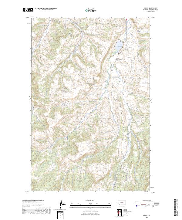
2024 Map of Heath
USGS Topo · Published 2024About this map
Heath serves as the primary point of settlement in this Montana landscape, where the waters of East Fork Big Spring Creek and Middle Fork Big Spring Creek converge. The terrain is defined by the significant hydrological network supporting the region, most notably the East Fork Reservoir and the winding course of Buffalo Creek. Local transport and residential development are evident through a named road network including Alaska Bench Rd and Red Hill Rd, which navigate the elevation changes between the creek beds and the higher plateaus. A distinctive landmark, the Toboggan Slide, suggests recreational or local geographical importance near the southern reaches of the quadrangle. Further south, the Middle Fork Canyon cuts a deep path through the township, illustrating the erosive power of the local tributaries that feed into the larger spring creek system.
Find a feature on this map
27 named features on this map. Tap any name to fly to it.
Don’t see what you’re looking for? This feature index may not catch every label — zoom into the map to look around manually.
Map Details
Editions of this 2024 Heath Map
This is the sole edition of this map. No revisions or reprints were ever made.
Other maps of this area

1889 · Big Snowy Mountain
USGS Topo · 1:250,000

1893 · Big Snowy Mountain
USGS Topo · 1:250,000

1941 · Lewistown
USGS Topo · 1:62,500

1941 · Judith Peak
USGS Topo · 1:62,500

1944 · Lewistown
USGS Topo · 1:62,500

1944 · Judith Peak
USGS Topo · 1:62,500

1954 · Roundup
USGS Topo · 1:250,000

1954 · Lewistown
USGS Topo · 1:250,000

1958 · Roundup
USGS Topo · 1:250,000

1959 · Lewistown
USGS Topo · 1:250,000