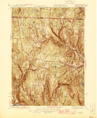
1945 Map of Heath
USGS Topo · Published 1945About this map
Heath sits at the heart of this mid-century upland landscape, where the Vermont border meets Franklin County during the 1940s. The terrain is defined by a dense network of mountain peaks and watercourses, most notably the West Branch North River and the significant industrial site of the Davis Mine located along Davis Mine Brook. The map reveals a community structured around its hilltops and narrow valleys, with social hubs at North Heath and Adamsville supported by local institutions like the Christian Hill School and South School. Genealogists will find several burial grounds, including Maple Grove Cem and South Cem, which dot the landscape alongside family-named heights such as Underwood Hill and Phillips Hill. Much of the eastern portion of the survey is dominated by the Colrain State Forest, highlighting the transition from agricultural and industrial use to managed timberland and conservation in the northern Berkshires.
Find a feature on this map
57 named features on this map. Tap any name to fly to it.
Don’t see what you’re looking for? This feature index may not catch every label — zoom into the map to look around manually.
Map Details
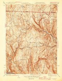
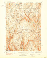
Editions of this 1945 Heath Map
3 editions found
Other maps of this area

1886 · Hawley
USGS Topo · 1:62,500

1889 · Wilmington
USGS Topo · 1:62,500

1890 · Hawley
USGS Topo · 1:62,500

1890 · Greenfield
USGS Topo · 1:62,500

1891 · Wilmington
USGS Topo · 1:62,500

1891 · Brattleboro
USGS Topo · 1:62,500

1893 · Brattleboro
USGS Topo · 1:62,500

1894 · Greenfield
USGS Topo · 1:62,500

1894 · Hawley
USGS Topo · 1:62,500

1899 · Wilmington
USGS Topo · 1:62,500