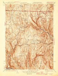
1945 Map of Heath
USGS Topo · Published 1945About this map
Davis Mine serves as a prominent landmark in the western hills of Franklin County, reflecting the industrial heritage of this upland terrain. The map details a high-elevation landscape where small settlements like Heath and North Heath are connected by narrow roads such as Kinsman Road and Colrain Road. The distribution of local institutions is evident through the placement of the South Sch and several family or community burial grounds, including Center Cem and Cutting Cem, which provide essential points of reference for genealogists tracing early residents of this border region.
Find a feature on this map
54 named features on this map. Tap any name to fly to it.
Don’t see what you’re looking for? This feature index may not catch every label — zoom into the map to look around manually.
Map Details
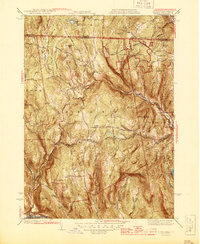
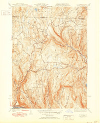
Editions of this 1945 Heath Map
3 editions found
Other maps of this area

1886 · Hawley
USGS Topo · 1:62,500

1889 · Wilmington
USGS Topo · 1:62,500

1890 · Hawley
USGS Topo · 1:62,500

1890 · Greenfield
USGS Topo · 1:62,500

1891 · Wilmington
USGS Topo · 1:62,500

1891 · Brattleboro
USGS Topo · 1:62,500

1893 · Brattleboro
USGS Topo · 1:62,500

1894 · Greenfield
USGS Topo · 1:62,500

1894 · Hawley
USGS Topo · 1:62,500

1899 · Wilmington
USGS Topo · 1:62,500