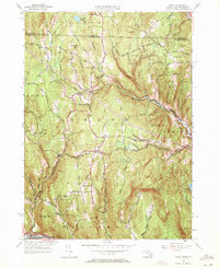
1961 Map of Heath
USGS Topo · Published 1971About this map
Heath sits at the center of this 1961 topographical survey, straddling the high ground between the Deerfield River and the northern border with Vermont. The landscape is defined by the winding paths of North Branch Brook and West Branch Brook, which cut through a network of family-named peaks including Phillips Hill, Porter Hill, and Underwood Hill. A significant industrial landmark is the Davis Mine located in the western portion of the township, south of Todd Mtn.
Find a feature on this map
74 named features on this map. Tap any name to fly to it.
Don’t see what you’re looking for? This feature index may not catch every label — zoom into the map to look around manually.
Map Details
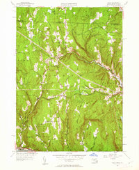
Editions of this 1961 Heath Map
2 editions found
Other maps of this area

1886 · Hawley
USGS Topo · 1:62,500

1889 · Wilmington
USGS Topo · 1:62,500

1890 · Hawley
USGS Topo · 1:62,500

1890 · Greenfield
USGS Topo · 1:62,500

1891 · Wilmington
USGS Topo · 1:62,500

1891 · Brattleboro
USGS Topo · 1:62,500

1893 · Brattleboro
USGS Topo · 1:62,500

1894 · Greenfield
USGS Topo · 1:62,500

1894 · Hawley
USGS Topo · 1:62,500

1899 · Wilmington
USGS Topo · 1:62,500