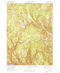
1974 Map of Heath
USGS Topo · Published 1976About this map
Heath and its surrounding hill country are defined by a network of upland roads and scattered settlements along the Massachusetts-Vermont border. The industrial history of the region is anchored by the Davis Mine in the western reaches, while the agricultural and community foundations of the area are preserved through numerous burial grounds like Center Cem and Maple Grove Cem. The landscape transitions from the protected woodlands of H O Cook State Forest in the north to the Deerfield River valley in the south, where the village of Charlemont sits along the Mohawk Trail.
Find a feature on this map
62 named features on this map. Tap any name to fly to it.
Don’t see what you’re looking for? This feature index may not catch every label — zoom into the map to look around manually.
Map Details
Editions of this 1974 Heath Map
2 editions found
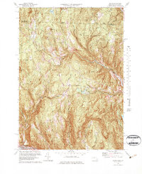
Other maps of this area

1886 · Hawley
USGS Topo · 1:62,500

1889 · Wilmington
USGS Topo · 1:62,500

1890 · Hawley
USGS Topo · 1:62,500

1890 · Greenfield
USGS Topo · 1:62,500

1891 · Wilmington
USGS Topo · 1:62,500

1891 · Brattleboro
USGS Topo · 1:62,500

1893 · Brattleboro
USGS Topo · 1:62,500

1894 · Greenfield
USGS Topo · 1:62,500

1894 · Hawley
USGS Topo · 1:62,500

1899 · Wilmington
USGS Topo · 1:62,500