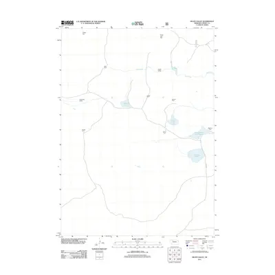
2011 Map of Heath Valley
USGS Topo · Published 2011About this map
Heath Valley and the surrounding ranchlands of Cherry County define this isolated landscape in the early 21st century. The map reveals a sparse network of established family-named properties, including Gale Ranch, Quailley Ranch, and Krueger Ranch, scattered across the open terrain. Water management is central to life here, evidenced by the presence of School House Lake Reservoir and the Adamson Dam on the eastern edge of the quadrangle.
Find a feature on this map
19 named features on this map. Tap any name to fly to it.
Don’t see what you’re looking for? This feature index may not catch every label — zoom into the map to look around manually.
Map Details
Editions of this 2011 Heath Valley Map
This is the sole edition of this map. No revisions or reprints were ever made.
Other maps of this area

1950 · Powderhorn Valley
USGS Topo · 1:62,500

1950 · Cody
USGS Topo · 1:62,500

1950 · Doughboy
USGS Topo · 1:62,500

1952 · Eli
USGS Topo · 1:62,500

1952 · Doughboy
USGS Topo · 1:62,500

1957 · Valentine
USGS Topo · 1:250,000

1959 · Valentine
USGS Topo · 1:250,000

1985 · Powderhorn Valley SW
USGS Topo · 1:24,000

1985 · Heath Valley
USGS Topo · 1:24,000

1985 · Eli SE
USGS Topo · 1:24,000