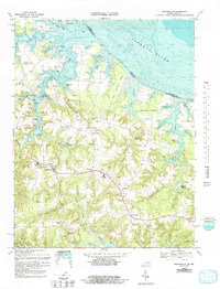
1968 Map of Heathsville
USGS Topo · Published 1993About this map
Heathsville serves as the focal point of this coastal landscape, situated at the junction of several primary roads in Virginia's Northern Neck. The 1968 topography, combined with 1982 bathymetric data, reveals a community deeply tied to its waterways and agricultural heritage. Water power and milling legacies are evident at sites like Clark Millpond, Sydnors Millpond, and Bush Mill, while the coastal economy is marked by numerous landings such as Rowes Landing and Brents Landing.
Find a feature on this map
72 named features on this map. Tap any name to fly to it.
Don’t see what you’re looking for? This feature index may not catch every label — zoom into the map to look around manually.
Map Details
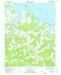
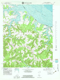
Editions of this 1968 Heathsville Map
3 editions found
Other maps of this area

1892 · Piney Point
USGS Topo · 1:62,500

1894 · Piney Point
USGS Topo · 1:62,500

1894 · Point Lookout
USGS Topo · 1:62,500

1895 · Nomini
USGS Topo · 1:125,000

1895 · Piney Point
USGS Topo · 1:62,500

1898 · Nomini
USGS Topo · 1:125,000

1898 · St. Marys
USGS Topo · 1:125,000

1901 · Piney Point
USGS Topo · 1:62,500

1906 · St. Marys
USGS Topo · 1:125,000

1912 · Point Lookout
USGS Topo · 1:62,500