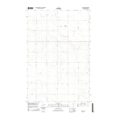
2014 Map of Heaton
USGS Topo · Published 2014About this map
Heaton stands as the primary settlement in this section of Wells County, situated at the intersection of a grid-based rural road network and Us-52. The landscape is defined by the winding course of Pipestem Cr, which cuts diagonally across the prairie terrain, creating a natural break in the otherwise structured section lines of roads like 44th Ave NE and 5th St NE.
Find a feature on this map
24 named features on this map. Tap any name to fly to it.
Don’t see what you’re looking for? This feature index may not catch every label — zoom into the map to look around manually.
Map Details
Editions of this 2014 Heaton Map
This is the sole edition of this map. No revisions or reprints were ever made.
Other maps of this area

1948 · Cathay
USGS Topo · 1:62,500

1948 · Fessenden
USGS Topo · 1:62,500

1949 · Cathay
USGS Topo · 1:24,000

1949 · Fessenden SW
USGS Topo · 1:24,000

1949 · Emrick
USGS Topo · 1:24,000

1951 · Bowdon
USGS Topo · 1:24,000

1951 · Heaton
USGS Topo · 1:24,000

1951 · Sykeston
USGS Topo · 1:24,000

1952 · New Rockford
USGS Topo · 1:250,000

1956 · New Rockford
USGS Topo · 1:250,000