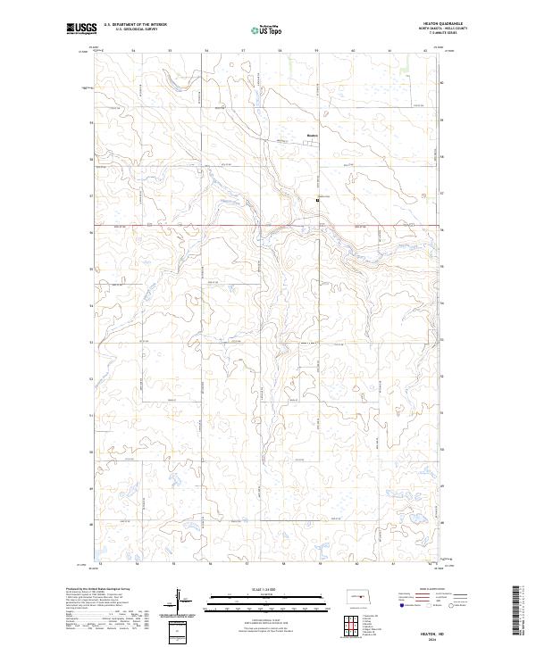
2024 Map of Heaton
USGS Topo · Published 2024About this map
Heaton stands as the primary settlement in this corner of North Dakota, a quiet rural landscape defined by the winding course of Pipestem Creek. The watercourse meanders through the central and western portions of the quadrangle, carving a distinct valley amidst the section lines of the Public Land Survey System. Genealogical interest centers on Heaton Cem, located just south of the town site along 47th Avenue NE. This map also details the Wells County Waterfowl Production Area, a significant conservation tract in the southwestern reaches. The area remains heavily organized by its grid of township roads, including Williams St and Main St, reflecting the persistent agricultural structure of the High Plains.
Find a feature on this map
29 named features on this map. Tap any name to fly to it.
Don’t see what you’re looking for? This feature index may not catch every label — zoom into the map to look around manually.
Map Details
Editions of this 2024 Heaton Map
This is the sole edition of this map. No revisions or reprints were ever made.
Other maps of this area

1948 · Cathay
USGS Topo · 1:62,500

1948 · Fessenden
USGS Topo · 1:62,500

1949 · Cathay
USGS Topo · 1:24,000

1949 · Fessenden SW
USGS Topo · 1:24,000

1949 · Emrick
USGS Topo · 1:24,000

1951 · Bowdon
USGS Topo · 1:24,000

1951 · Heaton
USGS Topo · 1:24,000

1951 · Sykeston
USGS Topo · 1:24,000

1952 · New Rockford
USGS Topo · 1:250,000

1956 · New Rockford
USGS Topo · 1:250,000