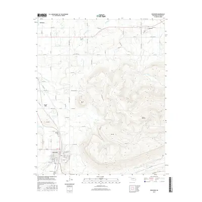
2016 Map of Heavener
USGS Topo · Published 2016About this map
Poteau Mountain dominates the center of this Oklahoma landscape, forming a massive natural barrier that separates the northern valley of Monroe from the settlement of Heavener to the southwest. The terrain is marked by several distinct peaks including Round Mtn, Lost Mtn, and Mid Mtn, which dictate the winding paths of rural roads like Crouch Rd and Ransom Ridge Rd. Water flows from these heights through a network of creeks, notably Cowskin Cr and Sugarloaf Cr in the north and Coal Creek and Dry Cr in the south.
Find a feature on this map
93 named features on this map. Tap any name to fly to it.
Don’t see what you’re looking for? This feature index may not catch every label — zoom into the map to look around manually.
Map Details
Editions of this 2016 Heavener Map
This is the sole edition of this map. No revisions or reprints were ever made.
Other maps of this area

1887 · Poteau Mountain #2
USGS Topo · 1:62,500

1887 · Greenwood
USGS Topo · 1:62,500

1890 · Fort Smith
USGS Topo · 1:125,000

1890 · Poteau Mountain
USGS Topo · 1:125,000

1899 · Poteau Mountain
USGS Topo · 1:125,000

1900 · Sallisaw
USGS Topo · 1:125,000

1900 · Winding Stair
USGS Topo · 1:125,000

1909 · Winding Stair
USGS Topo · 1:125,000

1911 · Sallisaw
USGS Topo · 1:125,000

1943 · Fort Smith
USGS Topo · 1:125,000