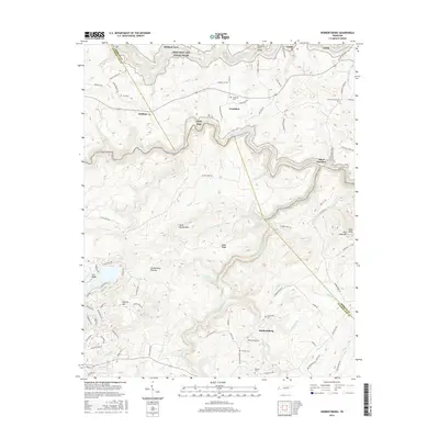
2016 Map of Hebbertsburg
USGS Topo · Published 2016About this map
Hebbertsburg and the surrounding heights of the Cumberland Plateau are the focus of this 2016 survey, where the deep incisions of the Obed River and Daddys Creek carve through the landscape. The map captures a transition between the residential developments of the southwest and the protected wilderness of the Obed Wild and Scenic River to the north. Family legacy is visible across the terrain through numerous burial grounds, including Potters Chapel Cem, Frankfort Cem, and Sims Cem, alongside roads named for local families like Delmer Smith Rd and Huse Potter. Smaller settlements like Frankfort and Halfway appear alongside landmarks such as Holland Ford and Ford Bridge, reflecting a community structure tied to the area's river crossings and winding ridge roads. The presence of Obed Junction indicates the historic intersection of rail and river in this secluded portion of the plateau.
Find a feature on this map
103 named features on this map. Tap any name to fly to it.
Don’t see what you’re looking for? This feature index may not catch every label — zoom into the map to look around manually.
Map Details
Editions of this 2016 Hebbertsburg Map
This is the sole edition of this map. No revisions or reprints were ever made.
Other maps of this area

1887 · Kingston
USGS Topo · 1:125,000

1891 · Kingston
USGS Topo · 1:125,000

1893 · Kingston
USGS Topo · 1:125,000

1895 · Wartburg
USGS Topo · 1:125,000

1896 · Wartburg
USGS Topo · 1:125,000

1935 · Lancing
USGS Topo · 1:24,000

1935 · Pilot Mountain
USGS Topo · 1:24,000

1936 · Hebbertsburg
USGS Topo · 1:24,000

1936 · Fox Creek
USGS Topo · 1:24,000

1936 · Twin Bridges
USGS Topo · 1:24,000