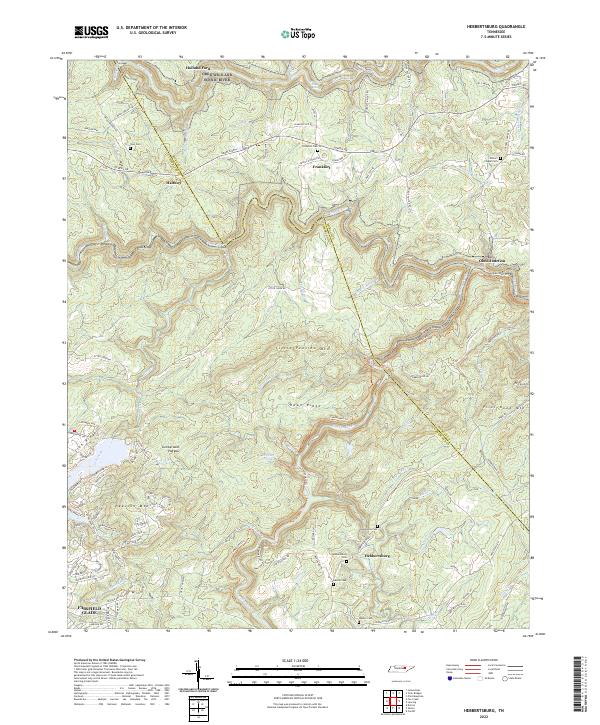
2022 Map of Hebbertsburg
USGS Topo · Published 2022About this map
The Cumberland Plateau terrain defines this region of Tennessee, where deep river cuts like the Obed Wild And Scenic River and Obed River shape the landscape. Small rural communities and family settlements are concentrated around Hebbertsburg and Frankfort, often situated near high ridges such as Little Peavine Mtn and Hawn Ridge. The map reveals a high density of small family and community burial grounds, including the Potters Chapel Cem, Hamby Cem, and Watson Cem, which serve as vital markers for local genealogical research.
Find a feature on this map
116 named features on this map. Tap any name to fly to it.
Don’t see what you’re looking for? This feature index may not catch every label — zoom into the map to look around manually.
Map Details
Editions of this 2022 Hebbertsburg Map
This is the sole edition of this map. No revisions or reprints were ever made.
Other maps of this area

1887 · Kingston
USGS Topo · 1:125,000

1891 · Kingston
USGS Topo · 1:125,000

1893 · Kingston
USGS Topo · 1:125,000

1895 · Wartburg
USGS Topo · 1:125,000

1896 · Wartburg
USGS Topo · 1:125,000

1935 · Lancing
USGS Topo · 1:24,000

1935 · Pilot Mountain
USGS Topo · 1:24,000

1936 · Hebbertsburg
USGS Topo · 1:24,000

1936 · Fox Creek
USGS Topo · 1:24,000

1936 · Twin Bridges
USGS Topo · 1:24,000