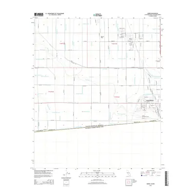
2015 Map of Heber
USGS Topo · Published 2015About this map
Calexico and Heber dominate this southern portion of the Imperial Valley, showing a landscape defined by an intensive network of irrigation infrastructure along the international border. The intricate system of water management is visible through numerous named features such as the Central Main Canal, Wistaria Canal, and Beech Canal, which transform the arid terrain into a productive agricultural region. The New River meanders through the central portion of the map, flanked by various drains and laterals that support the surrounding fields. Near the border with the United States of America and Estados Unidos Mexicanos, the Calexico International Airport serves as a critical transportation hub, while the Mountain View Cemetery stands as a local landmark. The geometric regularity of the roads and canals illustrate a highly engineered landscape designed for water distribution and farming.
Find a feature on this map
136 named features on this map. Tap any name to fly to it.
Don’t see what you’re looking for? This feature index may not catch every label — zoom into the map to look around manually.
Map Details
Editions of this 2015 Heber Map
This is the sole edition of this map. No revisions or reprints were ever made.
Other maps of this area

1907 · Holtville
USGS Topo · 1:125,000

1915 · El Centro
USGS Topo · 1:125,000

1940 · Brawley
USGS Topo · 1:62,500

1940 · Heber
USGS Topo · 1:62,500

1940 · Alamorio
USGS Topo · 1:62,500

1940 · Calexico
USGS Topo · 1:62,500

1942 · El Centro
USGS Topo · 1:250,000

1943 · Heber
USGS Topo · 1:62,500

1943 · Brawley
USGS Topo · 1:62,500

1943 · Calexico
USGS Topo · 1:62,500