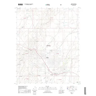
2018 Map of Heber
USGS Topo · Published 2018About this map
Heber-Overgaard serves as the central hub of this high-altitude landscape, where the settlements of Heber and Overgaard are established amidst the extensive Sitgreaves National Forest. The map illustrates a community defined by its relationship with the Mogollon Plateau, featuring a grid of residential streets that contrast with the surrounding wilderness of the Arizona high country. This area is characterized by an intricate network of drainage systems and livestock water sources, including Black Canyon, Buckskin Wash, and numerous localized features like East Indian Tank and Redwater Tank.
Find a feature on this map
50 named features on this map. Tap any name to fly to it.
Don’t see what you’re looking for? This feature index may not catch every label — zoom into the map to look around manually.
Map Details
Editions of this 2018 Heber Map
This is the sole edition of this map. No revisions or reprints were ever made.
Other maps of this area

1886 · Holbrook
USGS Topo · 1:250,000

1893 · Holbrook
USGS Topo · 1:250,000

1954 · Holbrook
USGS Topo · 1:250,000

1957 · Holbrook
USGS Topo · 1:250,000

1958 · Holbrook
USGS Topo · 1:250,000

1960 · Holbrook
USGS Topo · 1:250,000

1961 · Clay Springs
USGS Topo · 1:62,500

1961 · Heber
USGS Topo · 1:62,500

1970 · Red Knoll
USGS Topo · 1:24,000
1971 · Zeniff
USGS Topo · 1:24,000