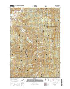
2014 Map of Hebo
USGS Topo · Published 2014About this map
Hebo and Cloverdale serve as the primary coastal gateway communities within this portion of the Siuslaw National Forest, where the Nestucca River and Three Rivers converge. The landscape is defined by the steep transition from the river valley floor to the high elevations of Mt Hebo and Gauldy Ridge. This 2014 survey documents the dense network of forest service roads, including Nat For Dev Rd 1431 and Little Hebo Rd, which facilitate access to remote locations like Happy Hollow and Little Hebo. Notable local landmarks for genealogists and historians include the Nestucca Valley Community Cem and the Gist Cem, along with aquaculture infrastructure like the Rhodes Rearing Pond. The map also captures the path of Us-101 and State Hwy 22, tracing the historical transportation corridors that have long connected these timber and dairy regions.
Find a feature on this map
57 named features on this map. Tap any name to fly to it.
Don’t see what you’re looking for? This feature index may not catch every label — zoom into the map to look around manually.
Map Details
Editions of this 2014 Hebo Map
This is the sole edition of this map. No revisions or reprints were ever made.
Other maps of this area

1941 · Nestucca Bay
USGS Topo · 1:62,500

1942 · Ginger Peak
USGS Topo · 1:62,500

1942 · Spirit Mtn
USGS Topo · 1:62,500

1942 · Nestucca Bay
USGS Topo · 1:62,500

1942 · Tillamook
USGS Topo · 1:62,500

1948 · Vancouver
USGS Topo · 1:250,000

1950 · Vancouver
USGS Topo · 1:250,000

1950 · Vancouver
USGS Topo · 1:250,000

1955 · Hebo
USGS Topo · 1:62,500

1955 · Blaine
USGS Topo · 1:62,500