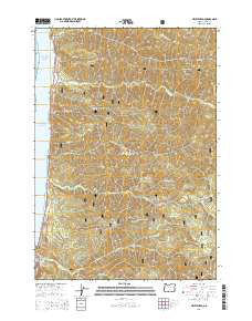
2014 Map of Heceta Head
USGS Topo · Published 2014About this map
Siuslaw National Forest dominates this Pacific coastline survey, where the Coast Range meets the sea in a series of dramatic ridges and steep creek drainages. The Oregon Coast Hwy serves as the primary artery, threading between the surf and the hills, notably passing through the Cape Creek Tunnel 3961 near the southern boundary. The small coastal settlement of Searose Beach represents the primary human footprint on a landscape otherwise defined by prominent heights like Fairview Mtn and Cummins Ridge. A dense network of watercourses, including Tenmile Cr, Big Cr, and Cape Cr, flow westward from the high timberlands. This 2014 data provides a clear record of the intersection between federal forest management and coastal development, preserving the locations of remote logging routes like Natl Forest Develop Road 1057 Rd.
Find a feature on this map
36 named features on this map. Tap any name to fly to it.
Don’t see what you’re looking for? This feature index may not catch every label — zoom into the map to look around manually.
Map Details
Editions of this 2014 Heceta Head Map
This is the sole edition of this map. No revisions or reprints were ever made.
Other maps of this area

1918 · Mapleton
USGS Topo · 1:48,000

1920 · Heceta Head
USGS Topo · 1:62,500

1922 · Waldport
USGS Topo · 1:62,500

1940 · Mapleton
USGS Topo · 1:62,500

1942 · Waldport
USGS Topo · 1:62,500

1942 · Heceta Head
USGS Topo · 1:62,500

1942 · Tidewater
USGS Topo · 1:62,500

1945 · Mapleton
USGS Topo · 1:62,500

1953 · Salem
USGS Topo · 1:250,000

1954 · Salem
USGS Topo · 1:250,000