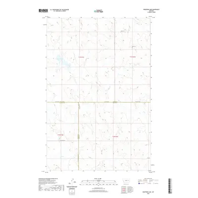
2020 Map of Hedstrom Lake
USGS Topo · Published 2020About this map
Biebers Cem serves as a quiet local landmark in this northern Big Dry country, situated near the headwaters of Skull Cr. The landscape is defined by the convergence of three counties—McCone, Garfield, and Prairie—where the high plains are dissected by numerous drainages. Hedstrom Lake sits at the heart of the T17N R44E section, a vital water source in an area where seasonal flows like Hay Cr and Timber Cr carve intricate patterns into the terrain. Remote ranch roads such as Last Chance Rd and Big Sheep Mountain Rd trace the ridgelines and section boundaries, illustrating the expansive, sparsely populated nature of the Montana prairie in the 21st century.
Find a feature on this map
15 named features on this map. Tap any name to fly to it.
Don’t see what you’re looking for? This feature index may not catch every label — zoom into the map to look around manually.
Map Details
Editions of this 2020 Hedstrom Lake Map
This is the sole edition of this map. No revisions or reprints were ever made.
Other maps of this area

1954 · Jordan
USGS Topo · 1:250,000

1954 · Glendive
USGS Topo · 1:250,000

1956 · Jordan
USGS Topo · 1:250,000

1957 · Glendive
USGS Topo · 1:250,000

1958 · Jordan
USGS Topo · 1:250,000

1958 · Glendive
USGS Topo · 1:250,000

1964 · Jordan
USGS Topo · 1:250,000

1965 · Hedstrom Lake
USGS Topo · 1:24,000

1965 · Hedstrom Lake SE
USGS Topo · 1:24,000

1965 · Heitz School
USGS Topo · 1:24,000