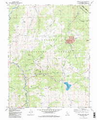
1979 Map of Heenan Lake
USGS Topo · Published 1982About this map
The high-elevation mining district of Alpine County is dominated by the sprawling footprint of the Leviathan Mine and the complex drainage networks of the East Fork Carson River. This 1970s record detail a landscape defined by 19th-century resource extraction, where the remnants of the Mt Bullion townsite and settlements like Forest City Flat sit adjacent to active industrial features such as the Monitor Tailings.
Find a feature on this map
50 named features on this map. Tap any name to fly to it.
Don’t see what you’re looking for? This feature index may not catch every label — zoom into the map to look around manually.
Map Details
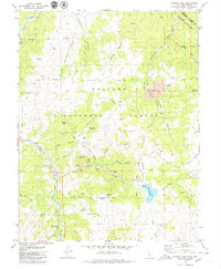
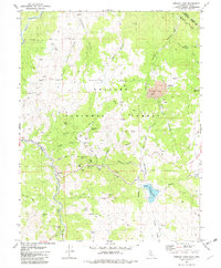
Editions of this 1979 Heenan Lake Map
3 editions found
Other maps of this area

1889 · Markleeville
USGS Topo · 1:125,000

1891 · Markleeville
USGS Topo · 1:125,000

1893 · Markleeville
USGS Topo · 1:125,000

1948 · Walker Lake
USGS Topo · 1:250,000

1956 · Freel Peak
USGS Topo · 1:62,500

1956 · Topaz Lake
USGS Topo · 1:62,500

1956 · Markleeville
USGS Topo · 1:62,500

1957 · Walker Lake
USGS Topo · 1:250,000
1957 · Mt. Siegel
USGS Topo · 1:62,500

1962 · Walker Lake
USGS Topo · 1:250,000