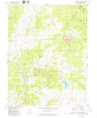
1979 Map of Heenan Lake
USGS Topo · Published 1979About this map
The high-elevation mining landscape of Alpine County is dominated by the sprawling operations at Leviathan Mine, where ruins and tailings basins sit high above Leviathan Creek. This 1970s survey captures the region's intense extractive history, particularly around Colorado Hill, where a cluster of sites including the Zaca Mine, Globe Mine, and Lincoln Mine mark the mineral-rich slopes between Lexington Canyon and Monitor Creek. Historical surveying is represented by the Von Schmidt Line 1872, indicating the original border between California and Nevada.
Find a feature on this map
59 named features on this map. Tap any name to fly to it.
Don’t see what you’re looking for? This feature index may not catch every label — zoom into the map to look around manually.
Map Details
Editions of this 1979 Heenan Lake Map
3 editions found
Other maps of this area

1889 · Markleeville
USGS Topo · 1:125,000

1891 · Markleeville
USGS Topo · 1:125,000

1893 · Markleeville
USGS Topo · 1:125,000

1948 · Walker Lake
USGS Topo · 1:250,000

1956 · Freel Peak
USGS Topo · 1:62,500

1956 · Topaz Lake
USGS Topo · 1:62,500

1956 · Markleeville
USGS Topo · 1:62,500

1957 · Walker Lake
USGS Topo · 1:250,000
1957 · Mt. Siegel
USGS Topo · 1:62,500

1962 · Walker Lake
USGS Topo · 1:250,000