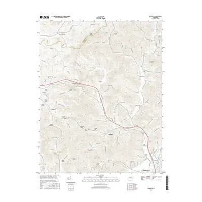
2016 Map of Heidrick
USGS Topo · Published 2016About this map
Richland Creek and its many tributaries carve a dense network of valleys through this portion of Knox County, defining the settlement patterns of the early 21st century. Narrow hollows such as Booger Hollow and California Hollow are named for the families and landmarks that shaped this landscape. The transition from agricultural valley floors to upland ridges is marked by peaks like Kirby Mtn and Gillam Knob.
Find a feature on this map
128 named features on this map. Tap any name to fly to it.
Don’t see what you’re looking for? This feature index may not catch every label — zoom into the map to look around manually.
Map Details
Editions of this 2016 Heidrick Map
This is the sole edition of this map. No revisions or reprints were ever made.
Other maps of this area

1886 · Cumberland Gap
USGS Topo · 1:125,000

1888 · Cumberland Gap
USGS Topo · 1:125,000

1890 · Williamsburg
USGS Topo · 1:125,000

1891 · Manchester
USGS Topo · 1:125,000

1891 · Cumberland Gap
USGS Topo · 1:125,000

1893 · London
USGS Topo · 1:125,000

1894 · Williamsburg
USGS Topo · 1:125,000

1897 · London
USGS Topo · 1:125,000

1952 · Corbin
USGS Topo · 1:24,000

1952 · Barbourville
USGS Topo · 1:24,000