2022 Map of Heidrick
USGS Topo · Published 2022About this map
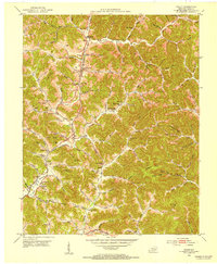
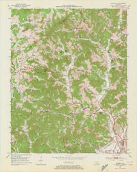
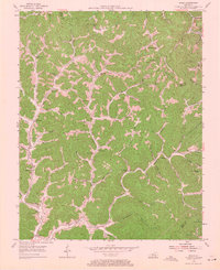
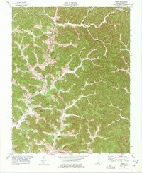
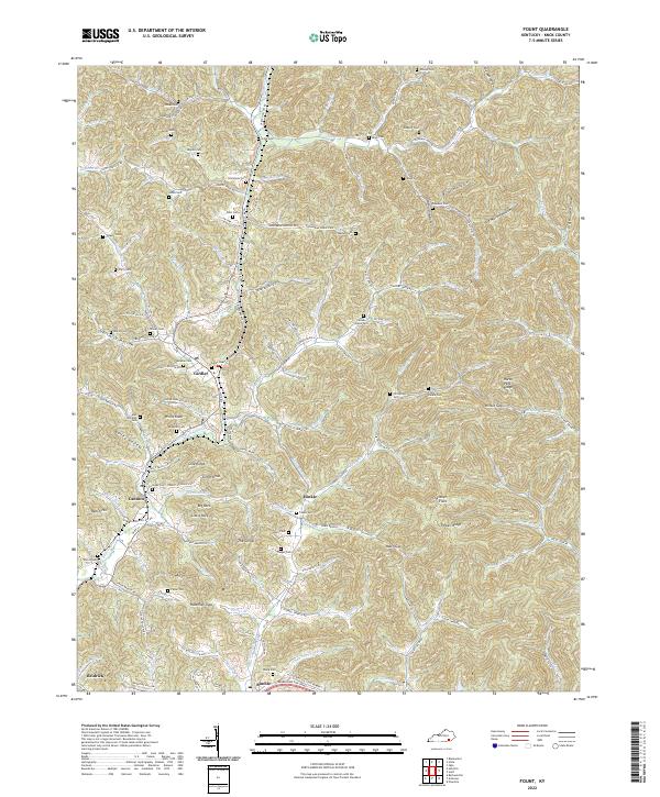
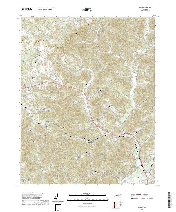
Richland Creek and its many tributaries, such as Middle Fork Richland Creek and Little Richland Creek, carve a dense network of hollows and gaps across this Knox County landscape. The map captures a high concentration of family-named landmarks and small burial grounds, including Brafford Cemetery near Arkle and Hutchison Cemetery further east. These features, alongside Scott Chapel and the Tuggle Cemetery, suggest a deeply rooted rural community structure that persisted into the twenty-first century.
Find a feature on this map
104 named features on this map. Tap any name to fly to it.
Don’t see what you’re looking for? This feature index may not catch every label — zoom into the map to look around manually.
Map Details
Editions of this 2022 Heidrick Map
This is the sole edition of this map. No revisions or reprints were ever made.
Historical Maps of Emanuel Through Time
9 maps found