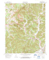
1974 Map of Heidrick
USGS Topo · Published 1989About this map
Richland Creek and its many branches carve through this portion of Knox County, where the industrial landscape of the 1970s is defined by extensive extraction and transport networks. Numerous Strip Mine operations and Gas Well clusters are scattered across the hillsides, particularly near Gillam Hill and the Middle Fork. This energy production exists alongside established rural communities and small stops along the Louisville and Nashville railroad, such as Baileys Switch and Emanuel.
Find a feature on this map
64 named features on this map. Tap any name to fly to it.
Don’t see what you’re looking for? This feature index may not catch every label — zoom into the map to look around manually.
Map Details
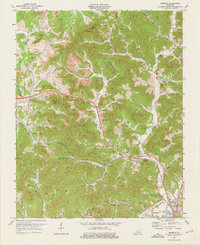
Editions of this 1974 Heidrick Map
2 editions found
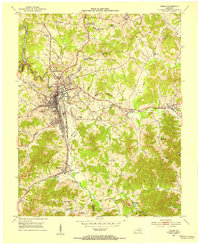
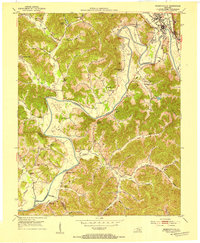
Other maps of this area

1886 · Cumberland Gap
USGS Topo · 1:125,000

1888 · Cumberland Gap
USGS Topo · 1:125,000

1890 · Williamsburg
USGS Topo · 1:125,000

1891 · Manchester
USGS Topo · 1:125,000

1891 · Cumberland Gap
USGS Topo · 1:125,000

1893 · London
USGS Topo · 1:125,000

1894 · Williamsburg
USGS Topo · 1:125,000

1897 · London
USGS Topo · 1:125,000
1952 · Corbin
USGS Topo · 1:24,000
1952 · Barbourville
USGS Topo · 1:24,000