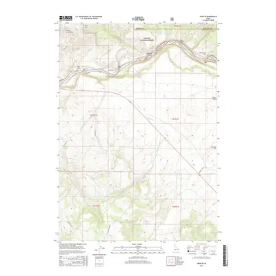
2017 Map of Heise SE
USGS Topo · Published 2017About this map
Targhee National Forest dominates the northern reaches of this Idaho landscape, where the Snake River carves a path through distinctive geological formations. This 2017 survey details the dramatic transition from high peaks like Kelly Mtn down to the expansive alluvial surfaces of Antelope Flat and Wolf Flat. The topography is marked by significant canyons and water features, including Stinking Spring Canyon and the natural water source at Stinking Spring.
Find a feature on this map
30 named features on this map. Tap any name to fly to it.
Don’t see what you’re looking for? This feature index may not catch every label — zoom into the map to look around manually.
Map Details
Editions of this 2017 Heise SE Map
This is the sole edition of this map. No revisions or reprints were ever made.
Other maps of this area

1924 · Hell Creek
USGS Topo · 1:62,500

1926 · Hell Creek
USGS Topo · 1:62,500

1932 · Irwin
USGS Topo · 1:96,000

1935 · Irwin
USGS Topo · 1:125,000

1943 · Garns Mtn
USGS Topo · 1:62,500

1946 · Garns Mtn
USGS Topo · 1:62,500

1951 · Poplar
USGS Topo · 1:24,000

1951 · Hawley Gulch
USGS Topo · 1:24,000

1951 · Heise
USGS Topo · 1:24,000

1951 · Heise SE
USGS Topo · 1:24,000