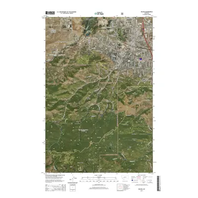
2014 Map of Helena
USGS Topo · Published 2014About this map
Last Chance Gulch cuts through the center of this mountain landscape, marking the historic gold-mining roots of Helena. The terrain transitions from the urban grid and the campus of Carroll Coll into the wooded heights of the Helena National Forest. To the south, smaller settlements like Unionville and Park City sit among a dense network of gulches, including Grizzly Gulch and Orofino Gulch, reflecting the region's complex mining geography. Several significant burial grounds are documented, from the Montana State Veterans Cem near Fort Harrison Army Air Field to the Home of Peace Cem. The map also captures the path of the Helena Valley Canal as it serves the northern valley, while peaks like Mt Helena and Mt Ascension overlook the city and the nearby county line with Jefferson County.
Find a feature on this map
49 named features on this map. Tap any name to fly to it.
Don’t see what you’re looking for? This feature index may not catch every label — zoom into the map to look around manually.
Map Details
Editions of this 2014 Helena Map
This is the sole edition of this map. No revisions or reprints were ever made.
Other maps of this area

1886 · Fort Logan
USGS Topo · 1:250,000

1889 · Helena
USGS Topo · 1:250,000

1893 · Helena
USGS Topo · 1:250,000

1899 · Boulder
USGS Topo · 1:125,000

1899 · Helena
USGS Topo · 1:62,500

1899 · Helena
USGS Topo · 1:250,000

1903 · Helena
USGS Topo · 1:250,000

1947 · Butte
USGS Topo · 1:250,000

1948 · White Sulphur Springs
USGS Topo · 1:250,000

1950 · Jefferson City
USGS Topo · 1:62,500