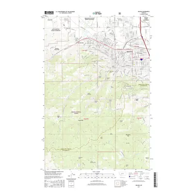
2017 Map of Helena
USGS Topo · Published 2017About this map
Last Chance Gulch and the surrounding terrain define this record of Montana's capital and its southern outskirts. The map illustrates the transition from the dense urban grid of Helena to the high-elevation topography of the Helena National Forest. A notable concentration of memorial sites, including the Montana State Veterans Cem and the Home of Peace Cem, marks the northwestern corridor near the MTA Fort Wm Henry Harrison.
Find a feature on this map
71 named features on this map. Tap any name to fly to it.
Don’t see what you’re looking for? This feature index may not catch every label — zoom into the map to look around manually.
Map Details
Editions of this 2017 Helena Map
This is the sole edition of this map. No revisions or reprints were ever made.
Other maps of this area

1886 · Fort Logan
USGS Topo · 1:250,000

1889 · Helena
USGS Topo · 1:250,000

1893 · Helena
USGS Topo · 1:250,000

1899 · Boulder
USGS Topo · 1:125,000

1899 · Helena
USGS Topo · 1:62,500

1899 · Helena
USGS Topo · 1:250,000

1903 · Helena
USGS Topo · 1:250,000

1947 · Butte
USGS Topo · 1:250,000

1948 · White Sulphur Springs
USGS Topo · 1:250,000

1950 · Jefferson City
USGS Topo · 1:62,500