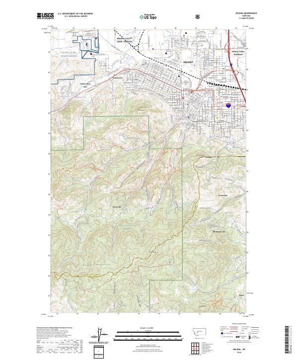
2024 Map of Helena
USGS Topo · Published 2024About this map
Helena serves as the focal point of this contemporary survey, situated where the South Hills and Boulder Mountains meet the valley floor. The map documents the city's complex urban grid and its proximity to state and local centers of power, including the Montana Supreme Court and the Lewis and Clark County Courthouse. Cultural and educational institutions like Carroll College and the Montana State Veterans Cem are clearly delineated alongside the modern expansion of Helena West Side and Broadwater.
Find a feature on this map
78 named features on this map. Tap any name to fly to it.
Don’t see what you’re looking for? This feature index may not catch every label — zoom into the map to look around manually.
Map Details
Editions of this 2024 Helena Map
This is the sole edition of this map. No revisions or reprints were ever made.
Other maps of this area

1886 · Fort Logan
USGS Topo · 1:250,000

1889 · Helena
USGS Topo · 1:250,000

1893 · Helena
USGS Topo · 1:250,000

1899 · Boulder
USGS Topo · 1:125,000

1899 · Helena
USGS Topo · 1:62,500

1899 · Helena
USGS Topo · 1:250,000

1903 · Helena
USGS Topo · 1:250,000

1947 · Butte
USGS Topo · 1:250,000

1948 · White Sulphur Springs
USGS Topo · 1:250,000

1950 · Jefferson City
USGS Topo · 1:62,500