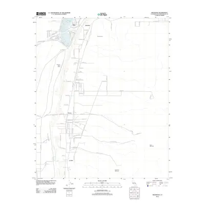
2012 Map of Helendale
USGS Topo · Published 2012About this map
The Mojave River corridor anchors this portion of the High Desert, where the master-planned community of Silver Lakes contrasts with the surrounding arid landscape. The map captures a high degree of residential development around North Lake and South Lake, featuring a dense network of suburban streets such as Outrigger Ln and Schooner Dr. This modern growth sits alongside older settlements like Helendale, Bryman, and La Delta, which trace the path of the river and rail lines.
Find a feature on this map
94 named features on this map. Tap any name to fly to it.
Don’t see what you’re looking for? This feature index may not catch every label — zoom into the map to look around manually.
Map Details
Editions of this 2012 Helendale Map
This is the sole edition of this map. No revisions or reprints were ever made.
Other maps of this area

1932 · Barstow
USGS Topo · 1:125,000

1934 · Barstow
USGS Topo · 1:125,000

1953 · San Bernardino
USGS Topo · 1:250,000

1956 · San Bernardino
USGS Topo · 1:250,000
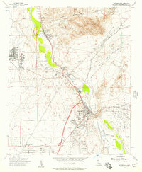
1956 · Victorville
USGS Topo · 1:24,000
1956 · Adelanto
USGS Topo · 1:24,000

1956 · Hawes
USGS Topo · 1:62,500
1956 · Victorville NW
USGS Topo · 1:24,000

1956 · Barstow
USGS Topo · 1:62,500

1956 · Helendale
USGS Topo · 1:24,000