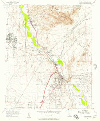
1956 Map of Victorville
USGS Topo · Published 1957About this map
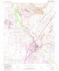
The Mojave River carves a green path through this high desert landscape, serving as the corridor for the shared tracks of the Up At&SF and Atchison Topeka and Santa Fe railroads. During the mid-1950s, Victorville shows significant development around the Victor Valley HS and the County Fairgrounds, while the surrounding area remains defined by industrial and military activity. To the northwest, the extensive George Air Force Base dominates the plateau, while the river banks are home to the heavy industry of the Cement Plant and old mining operations like the Comet Mine near Quartzite Mtn. The map reveals a transition from the established community at Oro Grande to the emerging residential clusters of Mountain View, alongside leisure landmarks such as the Victor Valley Country Club and a local Drive-in Theater.
Find a feature on this map
42 named features on this map. Tap any name to fly to it.
Don’t see what you’re looking for? This feature index may not catch every label — zoom into the map to look around manually.
Map Details
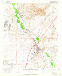
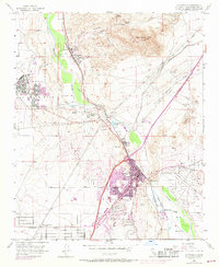
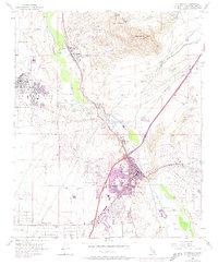
Editions of this 1956 Victorville Map
8 editions found
Other maps of this area

1901 · Southern California Sheet No. 1
USGS Topo · 1:250,000

1902 · Deep Creek
USGS Topo · 1:62,500

1902 · Hesperia
USGS Topo · 1:62,500

1904 · Southern California Sheet No. 1
USGS Topo · 1:250,000

1932 · Barstow
USGS Topo · 1:125,000

1934 · Barstow
USGS Topo · 1:125,000

1942 · Hesperia
USGS Topo · 1:62,500

1953 · San Bernardino
USGS Topo · 1:250,000

1956 · San Bernardino
USGS Topo · 1:250,000
1956 · Baldy Mesa
USGS Topo · 1:24,000