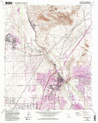
1956 Map of Victorville
USGS Topo · Published 1993About this map
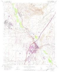
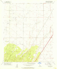
George Air Force Base dominates the western landscape of this mid-century survey, its expansive airfield and residential blocks like Sheppard Sch representing a significant military presence in the High Desert. The Mojave River flows through the center of the sheet, carving through the Upper Narrows and Lower Narrows to create a riparian corridor that contrasts sharply with the arid terrain of Quartzite Mtn. Along the river’s path, the Atchison Topeka and Santa Fe Railroad serves industrial interests, linking the town of Victorville with the lime and cement operations at Oro Grande.
Find a feature on this map
48 named features on this map. Tap any name to fly to it.
Don’t see what you’re looking for? This feature index may not catch every label — zoom into the map to look around manually.
Map Details
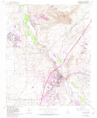
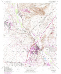
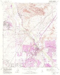
Editions of this 1956 Victorville Map
8 editions found
Other maps of this area

1901 · Southern California Sheet No. 1
USGS Topo · 1:250,000

1902 · Deep Creek
USGS Topo · 1:62,500

1902 · Hesperia
USGS Topo · 1:62,500

1904 · Southern California Sheet No. 1
USGS Topo · 1:250,000

1932 · Barstow
USGS Topo · 1:125,000

1934 · Barstow
USGS Topo · 1:125,000

1942 · Hesperia
USGS Topo · 1:62,500

1953 · San Bernardino
USGS Topo · 1:250,000

1956 · San Bernardino
USGS Topo · 1:250,000
1956 · Baldy Mesa
USGS Topo · 1:24,000