Loading...
Loading map...1956 Map of Victorville
USGS Topo · Published 1993About this map
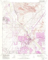
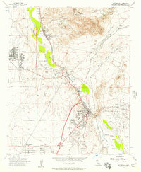
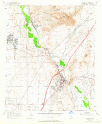
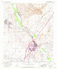
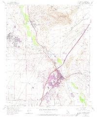
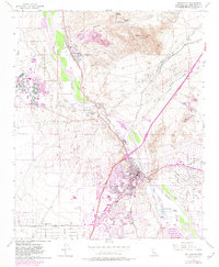
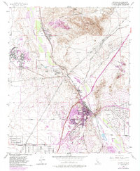
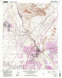
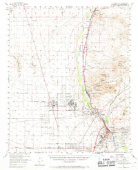
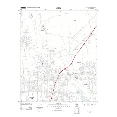
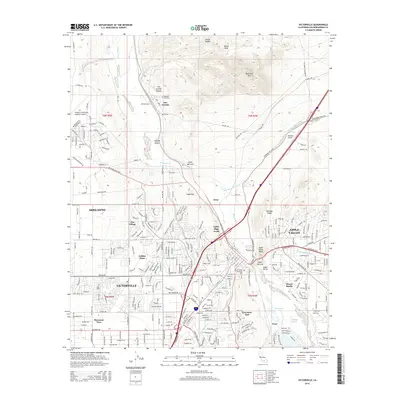
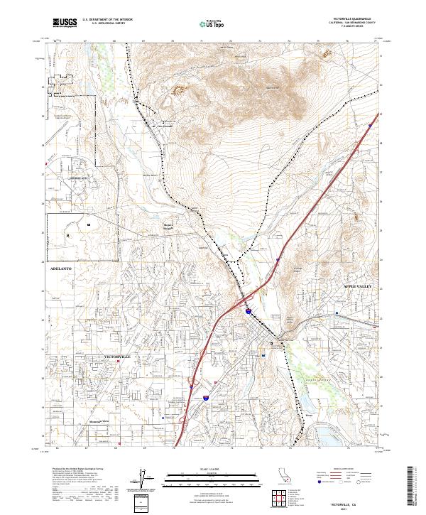
George Air Force Base dominates the western landscape of this High Desert corridor, serving as a primary regional anchor alongside the growth of Victorville. The Mojave River carves a path through the center, defined by the geological constraints of the Lower Narrows and Upper Narrows. This waterway supports the riparian habitat of Mojave Narrows Regional Park, where Horseshoe Lake and Pelican Lake mark a sharp contrast to the surrounding arid terrain.
Find a feature on this map
58 named features on this map. Tap any name to fly to it.
Don’t see what you’re looking for? This feature index may not catch every label — zoom into the map to look around manually.
Map Details
Date Portrayed1956
Date Published1993
PublisherU.S. Geological Survey
Map TypeTopographic
Scale1:24,000
Physical Dimensions21.28 x 26.67 inches
Editions of this 1956 Victorville Map
8 editions found
Historical Maps of Victorville Through Time
7 maps found
Featured Locations
Source Details
SourceU.S. Geological Survey
CopyrightPublic Domain