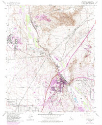
1956 Map of Victorville
USGS Topo · Published 1985About this map
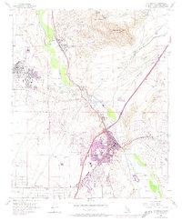
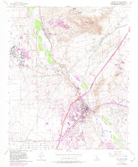
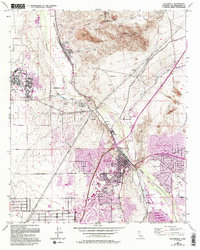
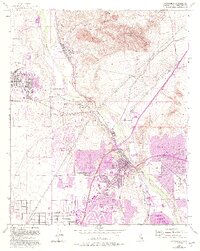
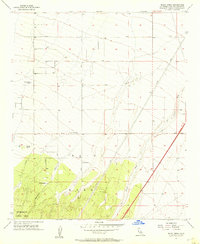
Industrial and military expansion dominate this high desert landscape, where the Mojave River carves through the Lower Narrows and Upper Narrows. Significant urban growth is evident in the 1980s photo-revisions, showing the expansion of Victorville and the activity at George Air Force Base to the west. The river corridor serves as the primary artery for transportation and industry, following the Atchison Topeka and Santa Fe Railroad past the massive Cement Plant and several Quarries.
Find a feature on this map
44 named features on this map. Tap any name to fly to it.
Don’t see what you’re looking for? This feature index may not catch every label — zoom into the map to look around manually.
Map Details
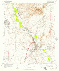
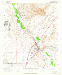
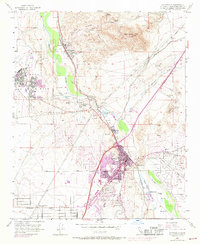
Editions of this 1956 Victorville Map
8 editions found
Other maps of this area

1901 · Southern California Sheet No. 1
USGS Topo · 1:250,000

1902 · Deep Creek
USGS Topo · 1:62,500

1902 · Hesperia
USGS Topo · 1:62,500

1904 · Southern California Sheet No. 1
USGS Topo · 1:250,000

1932 · Barstow
USGS Topo · 1:125,000

1934 · Barstow
USGS Topo · 1:125,000

1942 · Hesperia
USGS Topo · 1:62,500

1953 · San Bernardino
USGS Topo · 1:250,000

1956 · San Bernardino
USGS Topo · 1:250,000
1956 · Baldy Mesa
USGS Topo · 1:24,000