Old Maps of Helendale, California
Explore 21 old maps of Helendale, spanning from 1932 to today. These high-resolution historic maps reveal how streets, neighborhoods, landmarks, and natural features evolved over time — perfect for genealogy, metal detecting, research, and local history exploration.
What you can do with these maps:
- See how Helendale changed over time: Compare historical maps to modern-day views to trace roads, homesites, rail lines & more.
- View detailed metadata: Each map includes creators, publishers, year, scale, and archive source.
- Overlay maps with satellite & LiDAR: Visualize the past alongside modern tools to explore terrain & human change.
- Trusted historical sources: Maps sourced from the USGS, Library of Congress, and other archives.
- Access maps your way: View online, download high-res files, or order prints for personal or research use.
Start exploring old maps of Helendale to uncover forgotten places, hidden landmarks, and the deep history beneath your feet.
Helendale, CA maps
(21)- 1932 Map of Barstow, 1956 Print
 1932 Barstow1956 Print · USGSIn the early 1930s, the High Desert economy centered on the Mojave River corridor and the steel rails of the Atchison Topeka and Santa Fe RR. Researchers can trace the early footprints of Barstow and Victorville or locate mining operations like the Apex Mine.
 - 1934 Map of Barstow
 1934 Barstow1934 Print · USGSThe Mojave Desert and its river-based corridor are captured here in the early thirties, during the heyday of Route 66. Researchers can trace the original Atchison Topeka and Santa Fe line and locate mining sites like the Western States Mine or the settlement at Helendale.3 unique versions available
 - 1953 Map of San Bernardino
 1953 San Bernardino1953 Print · USGSSouthern California underwent massive post-war growth as suburban sprawl reached the foothills of the San Bernardino Mountains. Genealogists and historians can trace the rail-and-road roots of the Inland Empire through the Union Pacific RR and Lake Arrowhead resorts.2 unique versions available
 - 1956 Map of San Bernardino
 1956 San Bernardino1956 Print · USGSSouthern California's Inland Empire and High Desert come into focus in the mid-fifties as agriculture gives way to suburban and military growth. Trace early rail lines like the Pacific Electric or find remote landmarks like Camp Rock Mine and George AFB.
 - 1956 Map of Hawes, 1957 Print
 1956 Hawes1957 Print · USGSThe High Desert of San Bernardino County in the mid-fifties is captured here as a critical transportation and aviation corridor. Researchers can trace the heritage of remote ranching at Astley Rancho or locate early aviation infrastructure at the Hawes Auxiliary Airport and Helendale Auxiliary Airport.3 unique versions available
 - 1956 Map of Helendale, 1957 Print
 1956 Helendale1957 Print · USGSThe High Desert landscape in the mid-fifties centers on the Mojave River corridor, where vital rail lines and desert mining operations intersect. Genealogists and historians can trace the rail settlements of Helendale and Bryman or locate the Oro Grande Mine and Branch Mine.5 unique versions available
 - 1956 Map of Victorville, 1958 Print
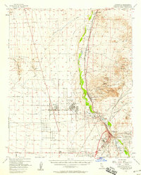 1956 Victorville1958 Print · USGSSan Bernardino County's High Desert transition is visible here during the mid-fifties, as military expansion and mining shaped the corridor from Victorville to Helendale. Researchers can trace old desert claims like the Red Raven Mine and early community hubs such as Adobe Corners and Oro Grande.3 unique versions available
 - 1957 Map of San Bernardino
 1957 San Bernardino1957 Print · USGSSouthern California's Inland Empire and High Desert met during the postwar expansion of the late fifties. Genealogists and historians can trace the growth of San Bernardino and Redlands alongside remote landmarks like Edwards AFB and the Camp Rock Mine.
 - 1958 Map of San Bernardino, 1975 Print
 1958 San Bernardino1975 Print · USGSSouthern California’s Inland Empire and High Desert come into focus during the mid-century boom, showing the rise of suburbs and massive military installations. Researchers can trace the rail networks of the Union Pacific RR or locate landmarks like Norton AFB and Big Bear Lake.
 - 1959 Map of San Bernardino
 1959 San Bernardino1959 Print · USGSSouthern California underwent a massive transformation in the late fifties as suburban growth and military power reshaped the desert and valley. Researchers can trace the legacy of the Union Pacific Railroad and locate early footprints of Joshua Tree National Monument and Edwards Air Force Base.
 - 1966 Map of San Bernardino
 1966 San Bernardino1966 Print · USGSThe San Bernardino Valley and Mojave Desert met during a period of massive military and suburban growth in the mid-sixties. Genealogists and historians can trace the development of Edwards Air Force Base, old desert mines like the Bagdad Chase Mine, and mountain communities near Big Bear Lake.
 - 1973 Map of Wild Crossing, 1976 Print
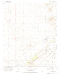 1973 Wild Crossing1976 Print · USGSThe Mojave River corridor near Wild Crossing was a hub of desert transit and infrastructure in the 1970s. Genealogists and historians can trace old routes like the Santa Fe Trail, locate the Point of Rocks settlement, and study the Helendale Airport at the edge of Iron Mountain.2 unique versions available
 - 1982 Map of Victorville
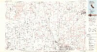 1982 Victorville1982 Print · USGSThe High Desert during the early eighties reveals a landscape of massive aerospace installations and growing desert communities. Researchers can trace the sprawling boundaries of Edwards Air Force Base alongside the vital California Aqueduct and the rail hub at Barstow.2 unique versions available
 - 2012 Map of Helendale, 2012 Print
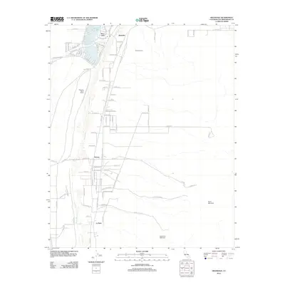 2012 Helendale2012 Print · USGSThe Mojave River corridor near Helendale shows a striking transition between suburban lakeside living and the arid High Desert. Researchers can trace the layout of Silver Lakes alongside the aviation history of Palisades Ranch Airport and Airway Beacon 8.
 - 2012 Map of Wild Crossing, 2012 Print
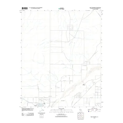 2012 Wild Crossing2012 Print · USGSThe High Mojave near Helendale comes into focus during the early 2010s, showing a desert landscape shaped by the river and modern settlement. You can trace the development at Silver Lakes or locate the geographic landmarks of Point of Rocks and Wild Crossing along the Mojave River.
 - 2015 Map of Wild Crossing, 2015 Print
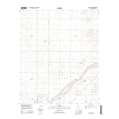 2015 Wild Crossing2015 Print · USGSThe high desert near Helendale comes into focus during the mid-2010s, showing the intersection of historic desert routes and modern rural life. Genealogists and desert historians can trace local landmarks like Point of Rocks, the residential Brisbane Valley, and the storied Santa Fe Trl.
 - 2015 Map of Helendale, 2015 Print
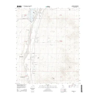 2015 Helendale2015 Print · USGSThe High Desert settlements of Helendale and Silver Lakes come into focus during this period of inland California expansion. Local historians can trace the development of Silver Lakes around North Lake and locate regional landmarks like Palisades Ranch Airport.
 - 2018 Map of Helendale, 2018 Print
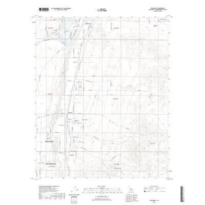 2018 Helendale2018 Print · USGSThe Mojave River corridor comes into sharp focus during this era of High Desert development between Victorville and Helendale. Genealogists and local historians can trace the paths of the National Trails Hwy through Bryman and the lakeside streets around North Lake.
 - 2018 Map of Wild Crossing, 2018 Print
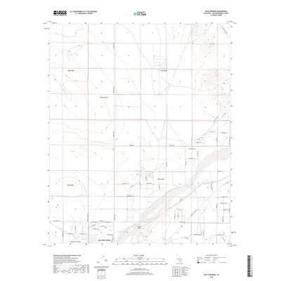 2018 Wild Crossing2018 Print · USGSThe Mojave Desert's river corridor is documented here in the late twenty-teens, showing the intersection of historic trails and modern life. Researchers can trace established routes like the Santa Fe Trl and Mojave Trl near the waters of the Mojave River.
 - 2021 Map of Helendale, 2021 Print
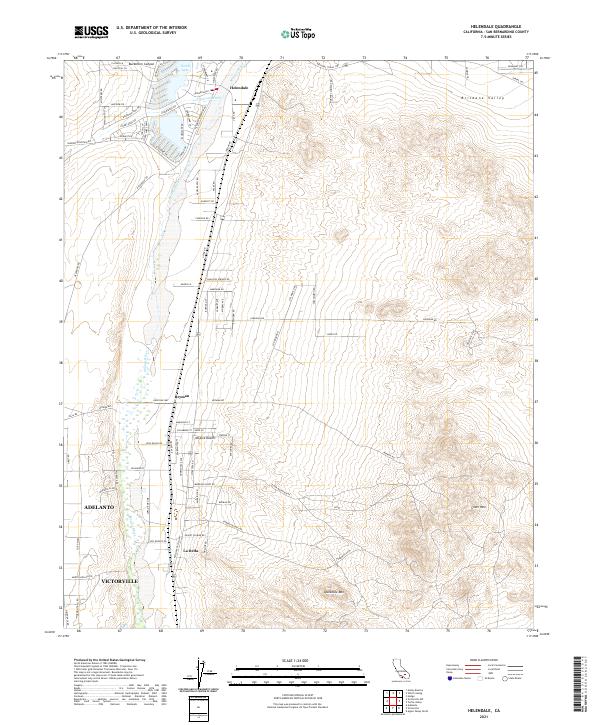 2021 Helendale2021 Print · USGSHigh desert life in the early twenty-first century is centered here on the Mojave River and the transit lines of the BNSF Railway. Researchers can trace the development of Helendale and Bryman, or locate regional landmarks like Silver Mtn.
 - 2021 Map of Wild Crossing, 2021 Print
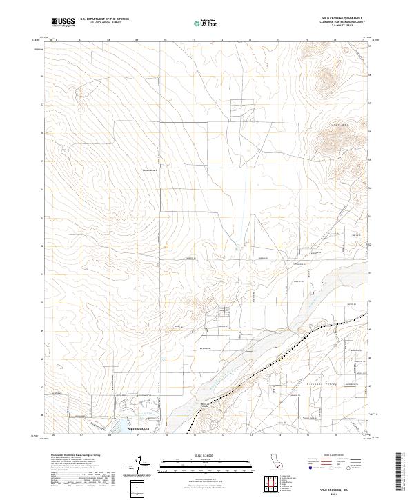 2021 Wild Crossing2021 Print · USGSThe Mojave Desert comes into focus during the early 2020s, centered on the river-fed community of Silver Lakes. You can trace historic travel corridors like the Santa Fe Trl and National Trails Hwy as they pass the landmark Point of Rocks.
End of results
Showing maps 1-21 of 21
Top cities near Helendale
- Victorville historical maps
- Apple Valley historical maps
- Adelanto historical maps
- Barstow historical maps
- Piñon Hills historical maps
Frequently asked questions
- What are the different types of historical maps available for Helendale?
- What is the oldest map of Helendale?
- Where can I purchase historical maps of Helendale for my home or office?
- Where can I download high-res historical maps of Helendale?
- Are there historical topographic maps available for Helendale?
- Is there historical aerial imagery available for Helendale?
- Where are historical maps of Helendale sourced from?