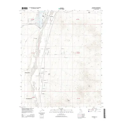
2015 Map of Helendale
USGS Topo · Published 2015About this map
Silver Lakes and the settlement of Helendale anchor the northern reaches of this High Desert landscape, where planned residential developments meet the shifting sands of the Mojave Desert. The Mojave River corridor serves as the primary geographic axis, supporting a riparian strip that contrasts sharply with the surrounding arid terrain. Along this corridor, the map records established communities and smaller locales such as Bryman and La Delta, while the northern boundaries of Adelanto and Victorville begin to encroach from the south.
Find a feature on this map
43 named features on this map. Tap any name to fly to it.
Don’t see what you’re looking for? This feature index may not catch every label — zoom into the map to look around manually.
Map Details
Editions of this 2015 Helendale Map
This is the sole edition of this map. No revisions or reprints were ever made.
Other maps of this area

1932 · Barstow
USGS Topo · 1:125,000

1934 · Barstow
USGS Topo · 1:125,000

1953 · San Bernardino
USGS Topo · 1:250,000

1956 · San Bernardino
USGS Topo · 1:250,000
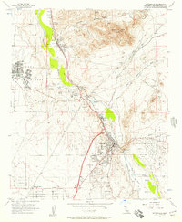
1956 · Victorville
USGS Topo · 1:24,000
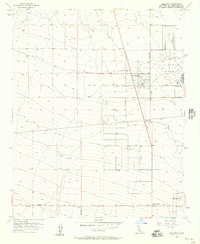
1956 · Adelanto
USGS Topo · 1:24,000

1956 · Hawes
USGS Topo · 1:62,500
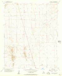
1956 · Victorville NW
USGS Topo · 1:24,000

1956 · Barstow
USGS Topo · 1:62,500

1956 · Helendale
USGS Topo · 1:24,000