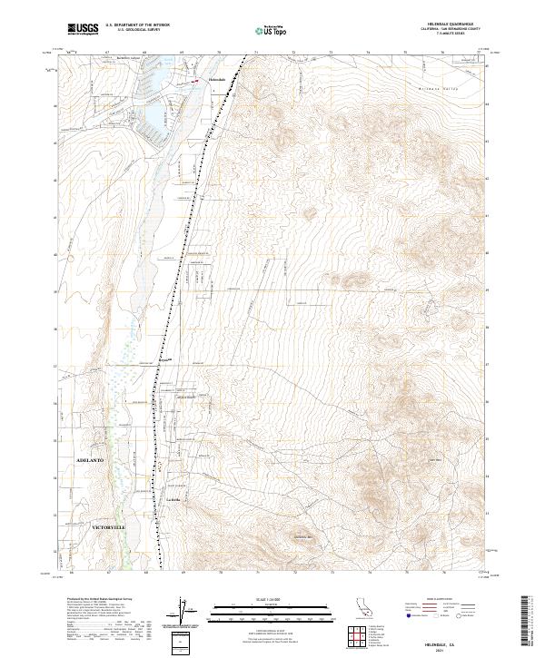
2021 Map of Helendale
USGS Topo · Published 2021About this map
The Mojave River winds through this high desert region, defining the development patterns of the Mojave Desert floor. Established communities like Helendale and Bryman are positioned alongside the river and the BNSF Railway, reflecting the long-standing importance of this corridor for regional transportation and water access. The northern portion of the map features the modern planned residential layout of the Silver Lakes area, centered around North Lake, contrasting with the more traditional desert settlements further south. In the southern reaches, the city limits of Adelanto and Victorville begin to appear, including the settlement of La Delta. The surrounding terrain is marked by prominent landforms such as Silver Mtn and Sparkhule Mtn, providing a clear view of the arid landscape before it transitions into more densely populated areas.
Find a feature on this map
89 named features on this map. Tap any name to fly to it.
Don’t see what you’re looking for? This feature index may not catch every label — zoom into the map to look around manually.
Map Details
Editions of this 2021 Helendale Map
This is the sole edition of this map. No revisions or reprints were ever made.
Other maps of this area

1932 · Barstow
USGS Topo · 1:125,000

1934 · Barstow
USGS Topo · 1:125,000

1953 · San Bernardino
USGS Topo · 1:250,000

1956 · San Bernardino
USGS Topo · 1:250,000
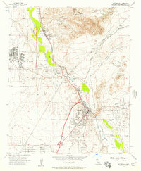
1956 · Victorville
USGS Topo · 1:24,000
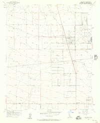
1956 · Adelanto
USGS Topo · 1:24,000

1956 · Hawes
USGS Topo · 1:62,500
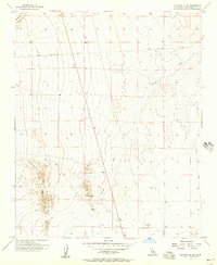
1956 · Victorville NW
USGS Topo · 1:24,000

1956 · Barstow
USGS Topo · 1:62,500

1956 · Helendale
USGS Topo · 1:24,000