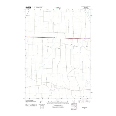
2010 Map of Helenville
USGS Topo · Published 2010About this map
Farmington and Helenville anchor this Jefferson County landscape, characterized by a dense network of local roads and watercourses. The area is defined by the winding paths of Johnson Creek and Duck Creek, which flow through the central and southern portions of the quadrangle, while the Rock River clips the northeastern corner. For genealogists and local historians, the map is remarkably dense with burial grounds, including the Farmington Cemetery, Farmington Concord Cemetery, Saint Stephens Cemetery, Pioneer Cemetery, and Saint Lukes Cemetery. This concentration of cemeteries suggests a long-established rural community with deep family roots. The presence of J-3 Cub Field adds a specific landmark to the agricultural terrain, which is otherwise gridded by routes like County Hwy D and County Hwy B.
Find a feature on this map
51 named features on this map. Tap any name to fly to it.
Don’t see what you’re looking for? This feature index may not catch every label — zoom into the map to look around manually.
Map Details
Editions of this 2010 Helenville Map
This is the sole edition of this map. No revisions or reprints were ever made.
Other maps of this area

1891 · Waterloo
USGS Topo · 1:62,500

1891 · Koshkonong
USGS Topo · 1:62,500

1892 · Watertown
USGS Topo · 1:62,500

1892 · Whitewater
USGS Topo · 1:62,500

1893 · Whitewater
USGS Topo · 1:62,500

1894 · Waterloo
USGS Topo · 1:62,500

1894 · Watertown
USGS Topo · 1:62,500

1894 · Koshkonong
USGS Topo · 1:62,500

1903 · Whitewater
USGS Topo · 1:62,500

1906 · Koshkonong
USGS Topo · 1:62,500