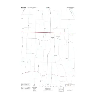
2013 Map of Helenville
USGS Topo · Published 2013About this map
Farmington and Helenville anchor this Jefferson County landscape, characterized by the winding drainage of Johnson Cr and the specialized agricultural operations typical of the region. The map reveals a mix of traditional family operations and unique industrial sites, from Maple Mound Farm and Probst Farm to the more specialized Palm Mushroom Cellars. Transportation in the area is defined by the heavy east-west corridor of Interstate 94 and the southern passage of Us-18, which connects these smaller communities to the broader Wisconsin road network. Aviation history is noted by the presence of J-3 Cub Field Airport near Farmington, while the northeast corner captures a small segment of the Rock River. Local-history researchers can trace the network of rural lanes like Back Acre Ln and Lake Dorothy Ln that partition the dairy and farmland between the primary highways.
Find a feature on this map
58 named features on this map. Tap any name to fly to it.
Don’t see what you’re looking for? This feature index may not catch every label — zoom into the map to look around manually.
Map Details
Editions of this 2013 Helenville Map
This is the sole edition of this map. No revisions or reprints were ever made.
Other maps of this area

1891 · Waterloo
USGS Topo · 1:62,500

1891 · Koshkonong
USGS Topo · 1:62,500

1892 · Watertown
USGS Topo · 1:62,500

1892 · Whitewater
USGS Topo · 1:62,500

1893 · Whitewater
USGS Topo · 1:62,500

1894 · Waterloo
USGS Topo · 1:62,500

1894 · Watertown
USGS Topo · 1:62,500

1894 · Koshkonong
USGS Topo · 1:62,500

1903 · Whitewater
USGS Topo · 1:62,500

1906 · Koshkonong
USGS Topo · 1:62,500