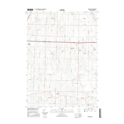
2015 Map of Helenville
USGS Topo · Published 2015About this map
Helenville and Farmington anchor this Jefferson County landscape, characterized by a dense network of country roads and low-lying wetlands. The area is defined by the slow movement of the Rock River in the northeast and the winding paths of Johnson Cr and Duck Cr. This 2015 survey reveals a terrain deeply tied to its agrarian roots, with numerous family-named roads like Koschnick Rd and Switzke Rd connecting isolated farmsteads.
Find a feature on this map
70 named features on this map. Tap any name to fly to it.
Don’t see what you’re looking for? This feature index may not catch every label — zoom into the map to look around manually.
Map Details
Editions of this 2015 Helenville Map
This is the sole edition of this map. No revisions or reprints were ever made.
Other maps of this area

1891 · Waterloo
USGS Topo · 1:62,500

1891 · Koshkonong
USGS Topo · 1:62,500

1892 · Watertown
USGS Topo · 1:62,500

1892 · Whitewater
USGS Topo · 1:62,500

1893 · Whitewater
USGS Topo · 1:62,500

1894 · Waterloo
USGS Topo · 1:62,500

1894 · Watertown
USGS Topo · 1:62,500

1894 · Koshkonong
USGS Topo · 1:62,500

1903 · Whitewater
USGS Topo · 1:62,500

1906 · Koshkonong
USGS Topo · 1:62,500