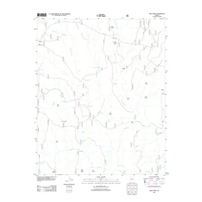
2012 Map of Hell Point
USGS Topo · Published 2012About this map
Verde River flows through the southern reaches of this landscape, a vital water source in a region defined by complex drainage systems and arid-land ranching. Near the western edge, the settlement of Drake and the Cedar Glade Cem sit along a corridor of early transport, while the Bear Siding railroad point to the east highlights the area's logistical connections. This territory is marked by a network of essential water catchments, including Wagon Tire Tank and Grindstone Tank, which supported operations at the Bar Heart Ranch and its private Bar Heart Ranch Airport.
Find a feature on this map
48 named features on this map. Tap any name to fly to it.
Don’t see what you’re looking for? This feature index may not catch every label — zoom into the map to look around manually.
Map Details
Editions of this 2012 Hell Point Map
This is the sole edition of this map. No revisions or reprints were ever made.
Other maps of this area
1886 · Chino
USGS Topo · 1:250,000
1887 · Prescott
USGS Topo · 1:250,000
1891 · Chino
USGS Topo · 1:250,000
1892 · Prescott
USGS Topo · 1:250,000
1905 · Jerome
USGS Topo · 1:125,000
1922 · Williams
USGS Topo · 1:125,000
1944 · Clarkdale
USGS Topo · 1:48,000
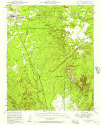
1947 · Ash Fork
USGS Topo · 1:62,500
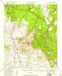
1947 · Paulden
USGS Topo · 1:62,500
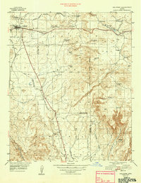
1948 · Ash Fork
USGS Topo · 1:63,360