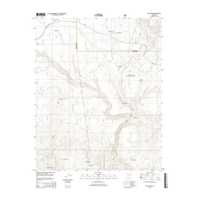
2014 Map of Hell Point
USGS Topo · Published 2014About this map
Verde River drainage patterns and the steep topography of the central Arizona highlands define this area within the Prescott National Forest. The landscape is characterized by a network of seasonal washes and canyons, including the significant Hell Canyon and Bear Canyon, which converge near the namesake Hell Point. Settlement is sparse, represented by the small community of Mack and the isolated Cedar Glade Cemetery near the western boundary. A sophisticated system of livestock water management is evident throughout the terrain, with numerous named tanks such as Wagon Tire Tank, Bettys Tank, and Lucky Tank supporting ranching activities. The transition from high mesas like Red Butte and Bald Hill down into the deep incision of Bull Basin Canyon illustrates the complex erosion typical of the Yavapai and Coconino county borderlands.
Find a feature on this map
56 named features on this map. Tap any name to fly to it.
Don’t see what you’re looking for? This feature index may not catch every label — zoom into the map to look around manually.
Map Details
Editions of this 2014 Hell Point Map
This is the sole edition of this map. No revisions or reprints were ever made.
Other maps of this area
1886 · Chino
USGS Topo · 1:250,000
1887 · Prescott
USGS Topo · 1:250,000
1891 · Chino
USGS Topo · 1:250,000
1892 · Prescott
USGS Topo · 1:250,000
1905 · Jerome
USGS Topo · 1:125,000
1922 · Williams
USGS Topo · 1:125,000
1944 · Clarkdale
USGS Topo · 1:48,000
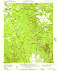
1947 · Ash Fork
USGS Topo · 1:62,500
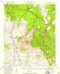
1947 · Paulden
USGS Topo · 1:62,500
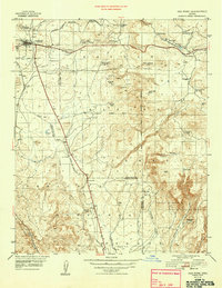
1948 · Ash Fork
USGS Topo · 1:63,360