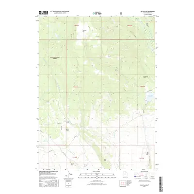
2017 Map of Heller Lake
USGS Topo · Published 2017About this map
Ashley National Forest dominates the northwestern portion of this Duchesne County landscape, where higher elevations give way to a complex network of canyons and draws. The terrain is defined by dramatic vertical features such as Washs Nipple and Tower Ridge, while water management is evident through the Cedar View Reservoir and several named springs like Dry Gulch Spring Number 3. The Uinta River cuts through the northeast corner, crossed by the Clover Creek Bridge, signaling the transition from mountain wilderness to more navigable territory.
Find a feature on this map
38 named features on this map. Tap any name to fly to it.
Don’t see what you’re looking for? This feature index may not catch every label — zoom into the map to look around manually.
Map Details
Editions of this 2017 Heller Lake Map
This is the sole edition of this map. No revisions or reprints were ever made.
Other maps of this area
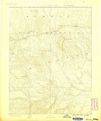
1885 · Uinta
USGS Topo · 1:250,000
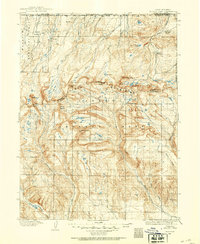
1905 · Gilbert Peak
USGS Topo · 1:125,000
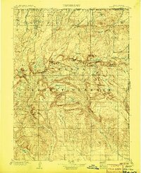
1906 · Gilbert Peak
USGS Topo · 1:125,000
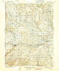
1939 · Duchesne
USGS Topo · 1:125,000
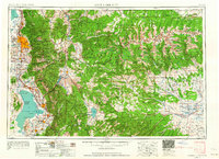
1954 · Salt Lake City
USGS Topo · 1:250,000
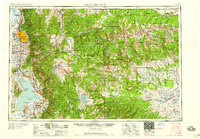
1958 · Salt Lake City
USGS Topo · 1:250,000
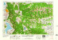
1960 · Salt Lake City
USGS Topo · 1:250,000
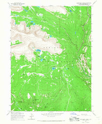
1965 · Rasmussen Lakes
USGS Topo · 1:24,000
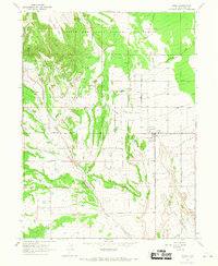
1965 · Neola
USGS Topo · 1:24,000
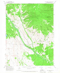
1965 · Pole Creek Cave
USGS Topo · 1:24,000