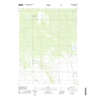
2020 Map of Heller Lake
USGS Topo · Published 2020About this map
Ashley National Forest dominates the northern reaches of this Duchesne County landscape, where the high-elevation terrain of the Uinta Basin transitions into significant peaks and ridges. Water management is a primary theme of the area's development, evidenced by the Cedar View Reservoir and the intricate network of drainage and transport including Dry Gulch Cr and the Uinta River. A complex system of forest and local roads, such as High Line Rd and Ute 7 Rd, provides access to landmarks like Washs Nipple and Tower Ridge. To the south, the terrain levels out at John Starr Flat, where the forest boundary meets the more open spaces of Cottonwood Canyon. The map preserves the specific locations of necessary infrastructure like the Clover Creek Bridge and Lower Dry Gulch Bridge, which facilitate movement across this varied topography.
Find a feature on this map
33 named features on this map. Tap any name to fly to it.
Don’t see what you’re looking for? This feature index may not catch every label — zoom into the map to look around manually.
Map Details
Editions of this 2020 Heller Lake Map
This is the sole edition of this map. No revisions or reprints were ever made.
Other maps of this area
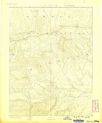
1885 · Uinta
USGS Topo · 1:250,000
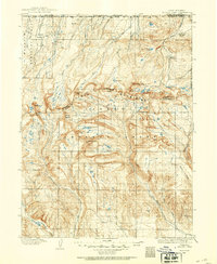
1905 · Gilbert Peak
USGS Topo · 1:125,000
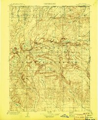
1906 · Gilbert Peak
USGS Topo · 1:125,000
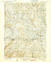
1939 · Duchesne
USGS Topo · 1:125,000
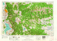
1954 · Salt Lake City
USGS Topo · 1:250,000
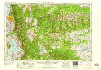
1958 · Salt Lake City
USGS Topo · 1:250,000
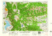
1960 · Salt Lake City
USGS Topo · 1:250,000
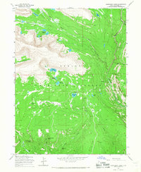
1965 · Rasmussen Lakes
USGS Topo · 1:24,000
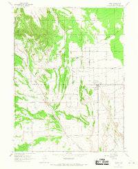
1965 · Neola
USGS Topo · 1:24,000
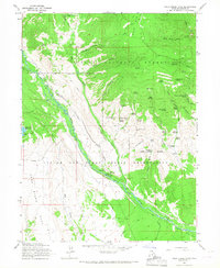
1965 · Pole Creek Cave
USGS Topo · 1:24,000