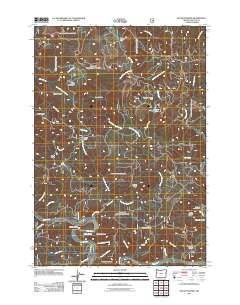
2011 Map of Hellion Rapids
USGS Topo · Published 2011About this map
The Alsea River flows through the southern reach of this Lincoln County landscape, defining a corridor of complex river features including Hellion Rapids and the deep incision of Hellion Canyon. The terrain is characterized by a series of prominent ridges and mountains such as Table Mountain, Scott Mountain, and Stoney Mountain, which dictate the drainage patterns of numerous named waterways like Drift Creek and its many forks.
Find a feature on this map
49 named features on this map. Tap any name to fly to it.
Don’t see what you’re looking for? This feature index may not catch every label — zoom into the map to look around manually.
Map Details
Editions of this 2011 Hellion Rapids Map
This is the sole edition of this map. No revisions or reprints were ever made.
Other maps of this area

1939 · Marys Peak
USGS Topo · 1:62,500

1942 · Marys Peak
USGS Topo · 1:62,500

1942 · Alsea
USGS Topo · 1:62,500

1942 · Tidewater
USGS Topo · 1:62,500

1942 · Toledo
USGS Topo · 1:62,500

1953 · Salem
USGS Topo · 1:250,000

1954 · Salem
USGS Topo · 1:250,000

1956 · Alsea
USGS Topo · 1:62,500

1956 · Tidewater
USGS Topo · 1:62,500

1957 · Marys Peak
USGS Topo · 1:62,500