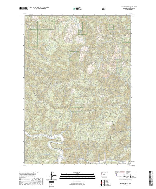
2023 Map of Hellion Rapids
USGS Topo · Published 2023About this map
The Alsea River cuts a winding path through the southern portion of this landscape, creating a focal point for the complex drainage systems that define the region. Within the Siuslaw National Forest, the terrain is marked by sharp elevation changes and distinctive geological features like the Upper Drift Creek Slide and the Hellion Rapids. These water features, combined with the presence of Ayers Lake, illustrate the wet, high-energy environment of the Oregon Coast Range.
Find a feature on this map
47 named features on this map. Tap any name to fly to it.
Don’t see what you’re looking for? This feature index may not catch every label — zoom into the map to look around manually.
Map Details
Editions of this 2023 Hellion Rapids Map
This is the sole edition of this map. No revisions or reprints were ever made.
Other maps of this area

1939 · Marys Peak
USGS Topo · 1:62,500

1942 · Marys Peak
USGS Topo · 1:62,500

1942 · Alsea
USGS Topo · 1:62,500

1942 · Tidewater
USGS Topo · 1:62,500

1942 · Toledo
USGS Topo · 1:62,500

1953 · Salem
USGS Topo · 1:250,000

1954 · Salem
USGS Topo · 1:250,000

1956 · Alsea
USGS Topo · 1:62,500

1956 · Tidewater
USGS Topo · 1:62,500

1957 · Marys Peak
USGS Topo · 1:62,500