Loading...
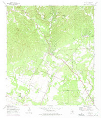
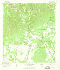
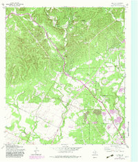
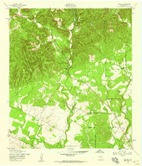
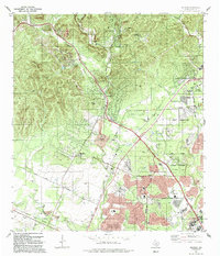
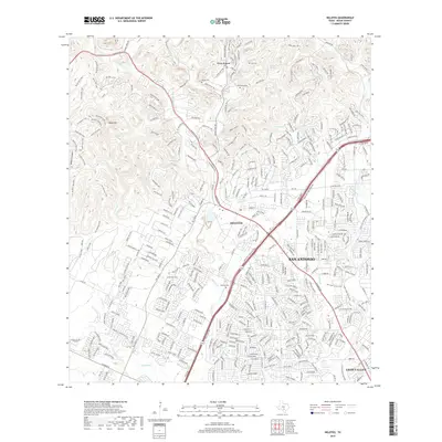
Loading map...1966 Map of Helotes
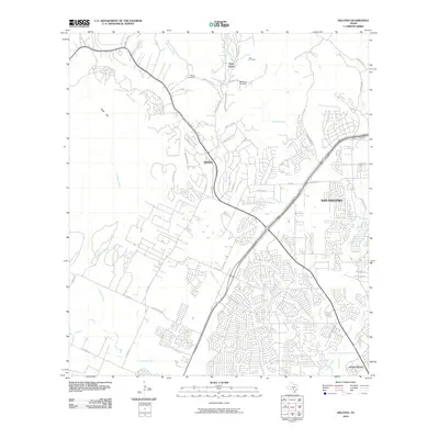
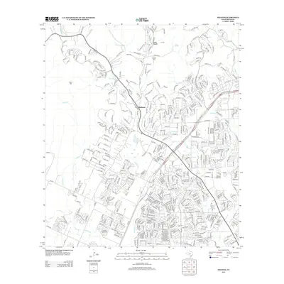
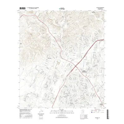
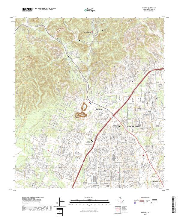
USGS Topo · Published 1975About this map
Helotes and Grey Forest occupy the transition where the Balcones Escarpment rises from the coastal plain, shown here during a period of expansion in northwestern Bexar County. The landscape is defined by the drainage of Helotes Creek, French Creek, and Culebra Creek, with numerous family-named landmarks and early burial sites scattered throughout the hills. Genealogists will find several notable cemeteries, including Menchaca Cem, Lee Cem, and Helotes Cem, which reflect the area's deep-rooted ranching and settlement history.
Find a feature on this map
31 named features on this map. Tap any name to fly to it.
Don’t see what you’re looking for? This feature index may not catch every label — zoom into the map to look around manually.
Map Details
Date Portrayed1966
Date Published1975
PublisherU.S. Geological Survey
Map TypeTopographic
Scale1:24,000
Physical Dimensions23 x 27 inches
Editions of this 1966 Helotes Map
Historical Maps of San Antonio Through Time
8 maps found
Featured Locations
Source Details
SourceU.S. Geological Survey
CopyrightPublic Domain