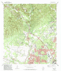
1992 Map of Helotes
USGS Topo · Published 1992About this map
The community of Helotes sits at the base of the Texas Hill Country, serving as a gateway between the limestone ridges to the northwest and the expanding suburban reach of San Antonio to the southeast. This 1992 survey documents a period of rapid transition, where quiet landmarks like the Madla Cem and Menchaca Cem are joined by modern infrastructure and academic institutions, including the sprawling University of Texas at San Antonio campus. The drainage patterns of Helotes Creek, Los Reyes Creek, and French Creek define the local topography, while numerous gravel pits reflect the area's geological utility. Local history is anchored by the Latin American Bible Institute and the older settlement of Grey Forest, even as the San Antonio Corporate Boundary pushes further into the foothills near Schnabel Park.
Find a feature on this map
37 named features on this map. Tap any name to fly to it.
Don’t see what you’re looking for? This feature index may not catch every label — zoom into the map to look around manually.
Map Details
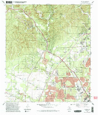
Editions of this 1992 Helotes Map
2 editions found
Other maps of this area

1953 · Otis Ridge
USGS Topo · 1:24,000

1953 · Culebra Hill
USGS Topo · 1:24,000

1953 · San Antonio West
USGS Topo · 1:24,000

1953 · Helotes
USGS Topo · 1:24,000

1953 · Castle Hills
USGS Topo · 1:24,000

1953 · Van Raub
USGS Topo · 1:24,000

1954 · San Antonio
USGS Topo · 1:250,000

1956 · Medina Lake
USGS Topo · 1:62,500

1957 · San Antonio
USGS Topo · 1:250,000

1958 · La Coste NE
USGS Topo · 1:24,000