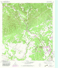
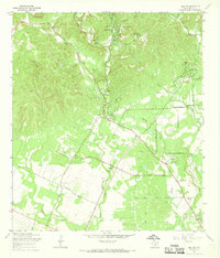
1966 Map of Helotes
USGS Topo · Published 1983About this map
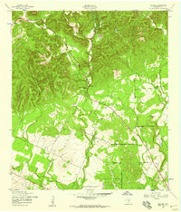
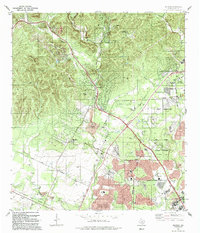
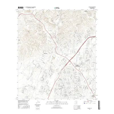
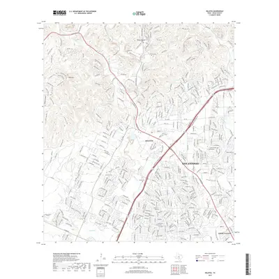
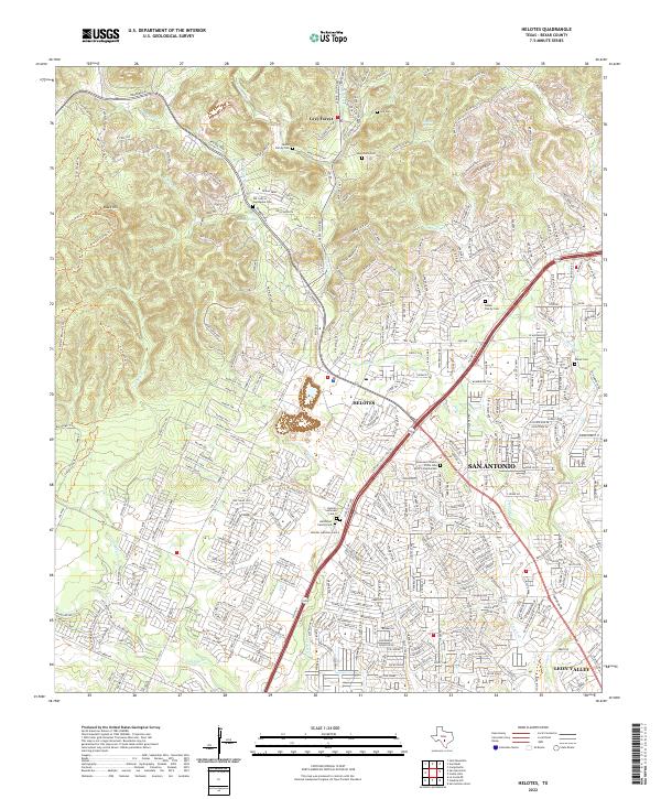
Helotes and Grey Forest occupy the transition from the rolling hills of the Balcones Escarpment toward the San Antonio plain in this detailed topographic record. The landscape is defined by a dense network of drainage systems, including Chimenea Creek, Los Reyes Creek, and the prominent Helotes Creek valley. Local history and genealogy are anchored by several family and community landmarks, such as Renchaca Cem, Media Cem, and the Helotes Cem south of the main settlement. The later growth of northwestern San Antonio is evident in the 1982 revisions, which show the emergence of residential subdivisions and institutional hubs like the University of Texas at San Antonio campus. The mapping of Gravel Pit locations and infrastructure like the Radio Towers (KBAT) reflects the mid-century industrial and communications expansion into this formerly rural corridor.
Find a feature on this map
41 named features on this map. Tap any name to fly to it.
Don’t see what you’re looking for? This feature index may not catch every label — zoom into the map to look around manually.
Map Details
Editions of this 1966 Helotes Map
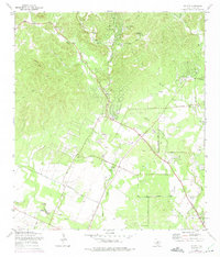
Historical Maps of San Antonio Through Time
8 maps found