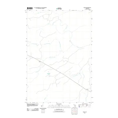
2011 Map of Helps
USGS Topo · Published 2011About this map
West Branch Ford River and South Branch Ford River converge in this northern forest landscape, shaping a drainage system that includes Skidmore Creek and Helps Creek. The small settlements of Helps and Faunus are situated along the primary roadway that cuts diagonally across the terrain, serving as quiet markers of habitation in a region dominated by water and woodland. To the south, Stephenson Lake and the headwaters of the Cedar River further define the local hydrology. This 2011 survey by the U.S. Geological Survey provides a precise look at the township’s network of local roads and the intricate winding of Kimberley Creek and Tenmile Creek, illustrating how the physical geography continues to dictate the placement of rural communities and transport routes.
Find a feature on this map
10 named features on this map. Tap any name to fly to it.
Don’t see what you’re looking for? This feature index may not catch every label — zoom into the map to look around manually.
Map Details
Editions of this 2011 Helps Map
This is the sole edition of this map. No revisions or reprints were ever made.
Other maps of this area

1932 · Helena SW
USGS Topo · 1:31,680

1951 · Helena SW
USGS Topo · 1:31,680

1954 · Escanaba
USGS Topo · 1:250,000

1956 · Foster City
USGS Topo · 1:62,500

1957 · Escanaba
USGS Topo · 1:250,000

1957 · Northland
USGS Topo · 1:62,500

1958 · Escanaba
USGS Topo · 1:250,000

1958 · Marquette
USGS Topo · 1:250,000

1960 · Marquette
USGS Topo · 1:250,000

1961 · Marquette
USGS Topo · 1:250,000